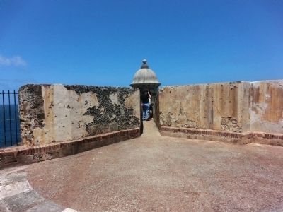
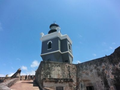
Ballajá in San Juan in Municipio de San Juan, Puerto Rico — The Caribbean (The West Indies)
The Main Plaza / Plaza principal
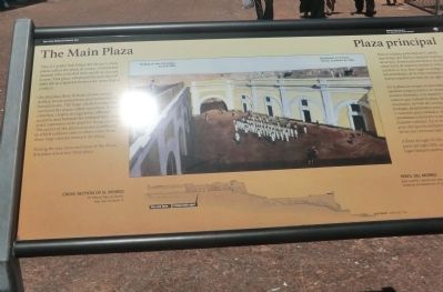
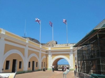
This is Castillo San Felipe del Morro’s main plaza, called the plaza de armas. Completed around 1780, it looked then much as you see it now. This plaza witnessed the activities of daily life in a Spanish fortress for more than a century.
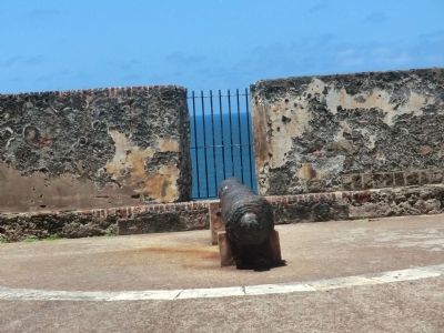
On the plaza floor in front of you troops drilled, stood inspections, and assembled for formal events. The large, vaulted rooms that surround the plaza, called casemates, housed a kitchen, chapel, storage areas, officers’ quarters, and barracks for enlisted men. Some outer casemates were used for firing cannon. The center of the plaza contains a wellhead, to which soldiers came to draw water from three large cisterns beneath the plaza. During the late 1700s and most of the 1800s, this plaza was a very busy place.
Caption:
Cross section of El Morro
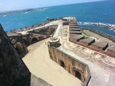
El Morro has six levels. You are on level 5.
Drilling on the main plaza, around 1800.
Esta es la plaza principal del Castillo San Felipe del Morro, llamada la plaza de armas. Terminada alrededor de 1780 antes lucía de manera similar a como usted la ve hoy. Este lugar es testigo de las actividades de la vida cotidiana en un fuerte español por más de un siglo.
En la plaza las tropas se ejercitaba, pasaban inspecciones y se reunían en eventos formales. Los amplios y altos cuartos que rodean la plaza, llamados casamatas, servían de cocina, capilla, bodegas, alojamienotos para oficiales y cuarteles para soldados. Algunas de las casamatas exteriores se podían usar para disparar cañones. En el centro de la plaza hay un pozo del que los soldados sacaban agua de las tres cisternas bajo la plaza.
A fines del siglo XVII y durante una parte del siglo XIX, este fue un lugar bastante activo.
[Pie de dibujos:]
Perfil del Morro
Este castillo cuenta con seis nivels. Usted se encuentra en el quinto nivel.
Ejercitando en la plaza central, alrededor de 1800.
Erected by National Park Service, U.S. Department of the Interior.
Topics. This historical marker is listed in this topic list: Forts and Castles. A significant historical year for this entry is 1780.
Location. 18° 28.259′ N, 66° 7.444′ W. Marker is in San Juan in Municipio de San Juan, Puerto Rico. It is in Ballajá. Marker is on Cll Del Morro. Touch for map. Marker is in this post office area: San Juan PR 00926, United States of America. Touch for directions.
Other nearby markers. At least 8 other markers are within walking distance of this marker. A Defense of the 1st Order (about 300 feet away, measured in a direct line); Defending San Juan / Defensa de San Juan (approx. 0.4 kilometers away); Juan Ponce de Leon (approx. 0.7 kilometers away); Unforeseen Stresses / Presiones Imprevistas (approx. one kilometer away); Piña Colada Made Famous (approx. one kilometer away); La Perla (approx. 1.1 kilometers away); Francisco de Miranda (approx. 1.1 kilometers away); Casa Natal de Don Ramón Power y Giralt (approx. 1.1 kilometers away). Touch for a list and map of all markers in San Juan.
Credits. This page was last revised on March 14, 2024. It was originally submitted on October 6, 2012, by Don Morfe of Baltimore, Maryland. This page has been viewed 466 times since then and 10 times this year. Photos: 1, 2, 3, 4, 5, 6. submitted on October 6, 2012, by Don Morfe of Baltimore, Maryland. • Bill Pfingsten was the editor who published this page.
