Marker Logo HMdb.org THE HISTORICAL
MARKER DATABASE
“Bite-Size Bits of Local, National, and Global History”
Flagstaff in Coconino County, Arizona — The American Mountains (Southwest)
 

Sunset Crater Volcano


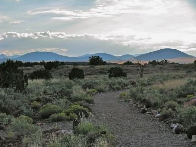
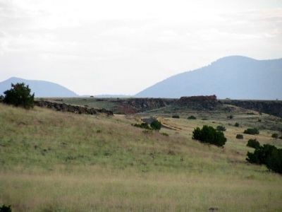
Sunset Crater Volcano Marker image. Click for full size.
Photographed By Denise Boose, September 28, 2012
1. Sunset Crater Volcano Marker
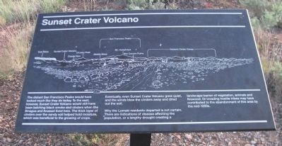
Inscription. The distant San Francisco Peaks would have looked much like they do today. To the east, however, Sunset Crater Volcano would still have been belching black smoke and cinders when the Sinagua and Anasazi lived here. The thick layer of cinders over the sandy soil helped hold moisture, which was beneficial to the growing of crops.

Eventually, even Sunset Crater Volcano grew quiet, and the winds blew the cinders away and dried out the soil.

Why the Lomaki residents departed is not certain. There are indications of disease affecting the population, or a lengthy drought creating a landscape barren of vegetation, animals and firewood. Or invading hostile tribes may have contributed to the abandonment of this area by the mid-1200s.
 
Topics. This historical marker is listed in these topic lists: Anthropology & ArchaeologyEnvironmentNative Americans.
 
Location. 35° 34.769′ N, 111° 28.1′ W. Marker is in Flagstaff, Arizona, in Coconino County. Marker is on Loop Road, on the right when traveling north. From Flagstaff, take US 89 north for 12 miles (19km), turn right at sign for Sunset Crater Volcano - Wupatki National Monuments. The Visitor Center is 21 miles (34km) from this junction. Touch for map. Marker is in this post office area: Flagstaff AZ 86001, United States of America. Touch for directions.
 
Other nearby markers.
Paid Advertisement
Click on the ad for more information.
Please report objectionable advertising to the Editor.
Click or scan to see
this page online
At least 8 other markers are within walking distance of this marker. Daily Life (within shouting distance of this marker); Ancient Landscapes (about 500 feet away, measured in a direct line); Dry Land Farming (about 600 feet away); Box Canyon Ruins (about 700 feet away); A Legacy of the Past (approx. 0.2 miles away); Nalakihu (approx. 0.9 miles away); Community (approx. 0.9 miles away); Where Were The Fields? (approx. one mile away). Touch for a list and map of all markers in Flagstaff.
 
Sunset Crater Volcano Marker image. Click for full size.
Photographed By Denise Boose, September 28, 2012
2. Sunset Crater Volcano Marker
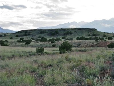
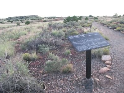
Volcanic Cinder Cones image. Click for full size.
Photographed By Denise Boose, September 28, 2012
3. Volcanic Cinder Cones
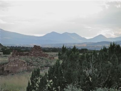
Box Canyon Ruins image. Click for full size.
Photographed By Denise Boose, September 28, 2012
4. Box Canyon Ruins
San Francisco Peaks~Mt. Humphreys image. Click for full size.
Photographed By Denise Boose, September 28, 2012
5. San Francisco Peaks~Mt. Humphreys
Middle Mesa image. Click for full size.
Photographed By Denise Boose, September 28, 2012
6. Middle Mesa
O'Leary Peak image. Click for full size.
Photographed By Denise Boose, September 28, 2012
7. O'Leary Peak
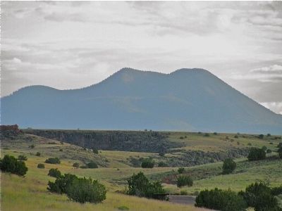
Sunset Crater Volcano~Citadel Ruins image. Click for full size.
Photographed By Denise Boose, September 28, 2012
8. Sunset Crater Volcano~Citadel Ruins
Sunset Crater is the far left and The Citadel Ruins just in the center.
 
 
Credits. This page was last revised on June 16, 2016. It was originally submitted on October 7, 2012, by Denise Boose of Tehachapi, California. This page has been viewed 747 times since then and 13 times this year. Photos:   1, 2, 3, 4, 5, 6, 7, 8. submitted on October 7, 2012, by Denise Boose of Tehachapi, California. • Syd Whittle was the editor who published this page.
Share this page.  
Share on Tumblr
m=60107

CeraNet Cloud Computing sponsors the Historical Marker Database.
This website earns income from purchases you make after using our links to Amazon.com. We appreciate your support.
Paid Advertisement
Apr. 24, 2024