Near Chilocco Indian School in Kay County, Oklahoma — The American South (West South Central)
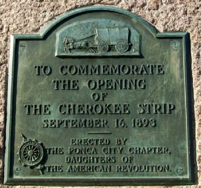
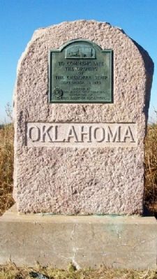
The Cherokee Strip
the Opening
of
The Cherokee Strip
September 16, 1893
Erected by The Ponca City Chapter, Daughters of the American Revolution.
Topics and series. This historical marker is listed in these topic lists: Fraternal or Sororal Organizations • Government & Politics • Native Americans • Settlements & Settlers. In addition, it is included in the Daughters of the American Revolution series list. A significant historical month for this entry is September 1948.
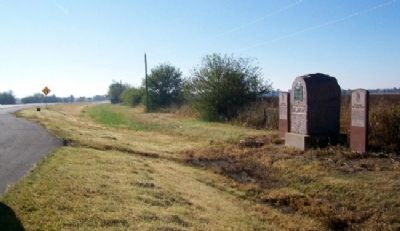
Location. 36° 59.901′ N, 97° 2.746′ W. Marker is near Chilocco Indian School, Oklahoma, in Kay County. Marker is at the intersection of U.S. 77 and State Line Road, on the right when traveling south on U.S. 77. Marker is at a roadside pullout along the southbound lanes of US Highway 77, just south of the Kansas-Oklahoma state line. Touch for map. Marker is in this post office area: Newkirk OK 74647, United States of America. Touch for directions.
Other nearby markers. At least 8 other markers are within 5 miles of this marker, measured as the crow flies. Oklahoma, The Indian State (here, next to this marker); Chilocco Indian School (here, next to this marker); a different marker also named Cherokee Strip (approx. 0.8 miles away); a different marker also named The Cherokee Strip (approx. 2 miles away in Kansas); Santa Fe Locomotive Engine No. 2542 (approx. 5 miles away in Kansas); Korean War Liberty Tree Memorial (approx. 5 miles away in Kansas); 1996 Olympic Torch Relay (approx. 5 miles away in Kansas); Robert Docking (approx. 5 miles away in Kansas). Touch for a list and map of all markers in Chilocco Indian School.
Also see . . .
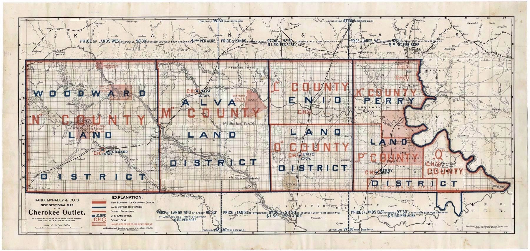
1. Cherokee Outlet Opening. Oklahoma Historical Society website entry (Submitted on November 7, 2023, by Larry Gertner of New York, New York.)
2. The Cherokee Outlet, or Cherokee Strip. Wikipedia entry (Submitted on November 7, 2023, by Larry Gertner of New York, New York.)
Credits. This page was last revised on November 7, 2023. It was originally submitted on October 22, 2012, by William Fischer, Jr. of Scranton, Pennsylvania. This page has been viewed 554 times since then and 14 times this year. Photos: 1, 2, 3. submitted on October 22, 2012, by William Fischer, Jr. of Scranton, Pennsylvania. 4. submitted on November 7, 2023, by Larry Gertner of New York, New York.


