La Porte Saint Martin
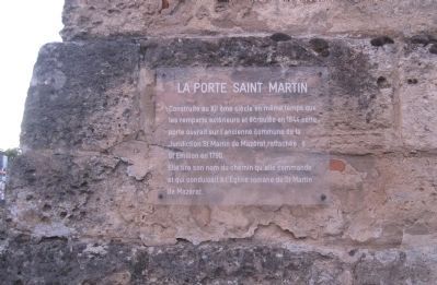
[The Saint Martin Gate]
The Saint Martin Gate
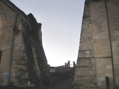
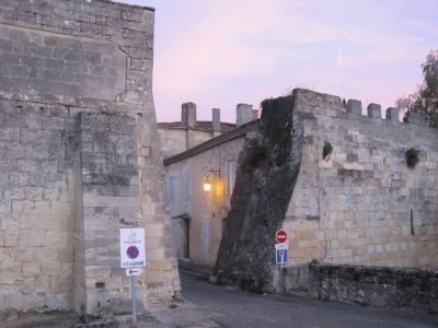
Built in the twelfth century at the same time as the outer walls and collapsed in 1844, the door opened on the old common of the Jurisdiction of St. Martin of Mazérat, attached to St. Emilion in 1790.
It derives its name from the way it controls the road which led to the Romanesque church of St. Martin of Mazéart.]
Topics. This historical marker is listed in this topic list: Forts and Castles. A significant historical year for this entry is 1844.
Location. 44° 53.558′ N, 0° 9.483′ W. Marker is in Saint Emilion, Nouvelle-Aquitaine (New Aquitaine), in Gironde. Marker is at the intersection of Rue des Ecoles and Rue du Convent on Rue des Ecoles. Touch for map. Marker is in this post office area: Saint Emilion, Nouvelle-Aquitaine 33330, France. Touch for directions.
Other nearby markers.
At least 3 other markers are within walking distance of this marker. L’ancienne Halle (about 180 meters away, measured in a direct line); La Maison de la Cadene/La Porte de la Cadene (approx. 0.2 kilometers away); La Porte Brunet (approx. 0.4 kilometers away).
Credits. This page was last revised on September 12, 2018. It was originally submitted on October 24, 2012, by Barry Swackhamer of Brentwood, California. This page has been viewed 482 times since then and 6 times this year. Photos: 1, 2, 3. submitted on October 24, 2012, by Barry Swackhamer of Brentwood, California. • Bill Pfingsten was the editor who published this page.


