Near Pine Springs in Culberson County, Texas — The American South (West South Central)
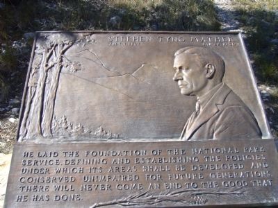
Stephen Tyng Mather
July 4, 1867 - Jan. 22, 1930
Topics and series. This historical marker is listed in this topic list: Parks & Recreational Areas. In addition, it is included in the Stephen Tyng Mather series list.
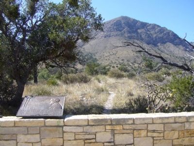
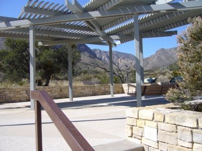
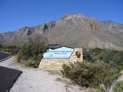
Location. 31° 53.656′ N, 104° 49.326′ W. Marker is near Pine Springs, Texas, in Culberson County. Marker can be reached from Pine Canyon Drive north of U.S. 62/180. Marker is near the visitor center at Guadalupe Mountains National Park. Touch for map. Marker is in this post office area: Salt Flat TX 79847, United States of America. Touch for directions.
Other nearby markers. At least 8 other markers are within 3 miles of this marker, measured as the crow flies. The "Committee of Five" (here, next to this marker); Groundbreaking for the Pine Springs Visitor Center (a few steps from this marker); Butterfield Overland Mail (approx. 0.3 miles away); The Airmen (approx. 0.3 miles away); Ruins of "The Pinery" or "Pine Spring" Stage Stand (approx. 0.3 miles away); Frijole Historic Site (approx. 1˝ miles away); Frijole School House (approx. 1˝ miles away); Guadalupe Peak (approx. 3.1 miles away). Touch for a list and map of all markers in Pine Springs.
Credits. This page was last revised on December 21, 2019. It was originally submitted on October 28, 2012, by Bill Kirchner of Tucson, Arizona. This page has been viewed 512 times since then and 12 times this year. Photos: 1, 2, 3, 4. submitted on October 28, 2012, by Bill Kirchner of Tucson, Arizona. • Bernard Fisher was the editor who published this page.


