Marshall Hall in Charles County, Maryland — The American Northeast (Mid-Atlantic)
Marshall Hall
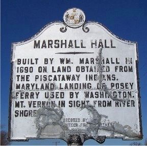
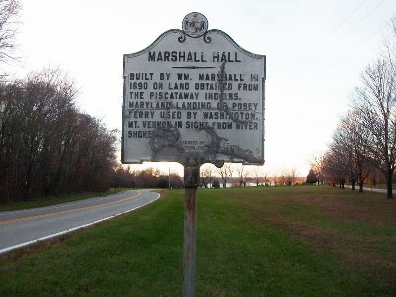
Built by Wm. Marshall in 1690 on land obtained from the Piscataway Indians. Maryland landing of Posey ferry used by Washington. Mt. Vernon in sight from river shore.
Erected 1982 by La Plata Volunteer Fire Department.
Topics. This historical marker is listed in these topic lists: Colonial Era • Native Americans. A significant historical year for this entry is 1690.
Location. 38° 40.923′ N, 77° 5.783′ W. Marker is in Marshall Hall, Maryland, in Charles County. Marker is on Marshall Hall Road (Maryland Route 227). Marshall Hall is located in Piscataway National Park. Touch for map. Marker is in this post office area: Bryans Road MD 20616, United States of America. Touch for directions.
Other nearby markers. At least 8 other markers are within 2 miles of this marker, measured as the crow flies. Piscataway Park (approx. 0.2 miles away); First People of the Potomac (approx. half a mile away); American Milking Devon Cattle (approx. 1.6 miles away); George Washington's Fisheries (approx. 1.6 miles away in Virginia); Batteau Construction Project (approx. 1.6 miles away in Virginia); Batteau Design (approx. 1.6 miles away in Virginia); Punt (approx. 1.6 miles away in Virginia); Hog Island Sheep (approx. 1.6 miles away).
More about this marker. The marker is very damaged, rendering some parts very illegible.
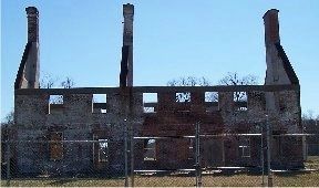
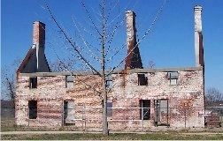
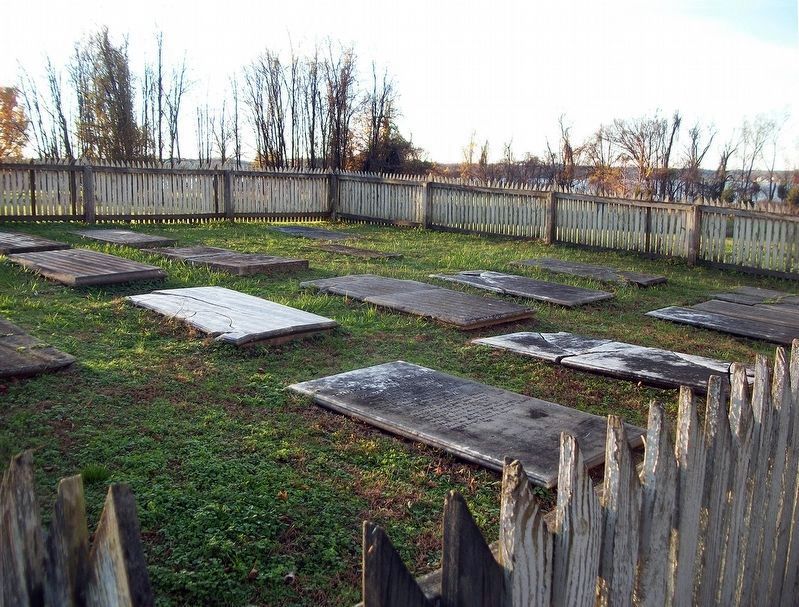
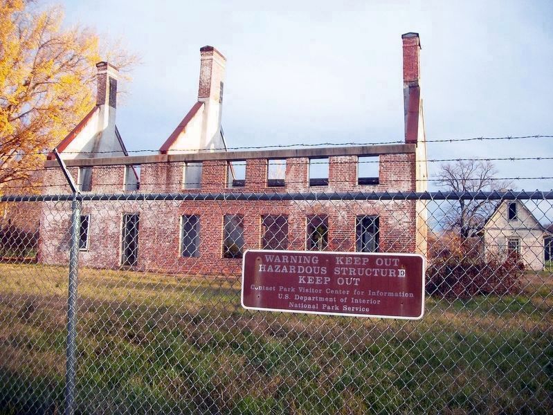
Regarding Marshall Hall. Marshall Hall was destroyed by arson October 17, 1981. It was built circa 1725. Marshall Hall and its grounds were an amusement park between 1889 and 1969, served by boat from Washington.
Also see . . .
1. Marshall Hall Foundation Website. Photos, history, and memories. (Submitted on March 9, 2008.)
2. Marshall Hall. Maryland Historic Trust Architectural Survey File website entry (Submitted on January 17, 2019.)
3. Marshall Hall. National Park Service website entry (Submitted on January 17, 2019, by David Lassman of Waldorf, Maryland.)
Additional keywords. Wilson Line, Marshall Hall Amusement Park
Credits. This page was last revised on January 17, 2024. It was originally submitted on March 9, 2008, by M. A. Pimentel of Waldorf, Maryland. This page has been viewed 5,465 times since then and 61 times this year. Last updated on January 17, 2019, by David Lassman of Waldorf, Maryland. Photos: 1. submitted on March 9, 2008, by M. A. Pimentel of Waldorf, Maryland. 2. submitted on January 17, 2019, by David Lassman of Waldorf, Maryland. 3, 4, 5. submitted on March 9, 2008, by M. A. Pimentel of Waldorf, Maryland. 6, 7. submitted on January 17, 2019, by David Lassman of Waldorf, Maryland. • Andrew Ruppenstein was the editor who published this page.
