Near Peru in Miami County, Indiana — The American Midwest (Great Lakes)
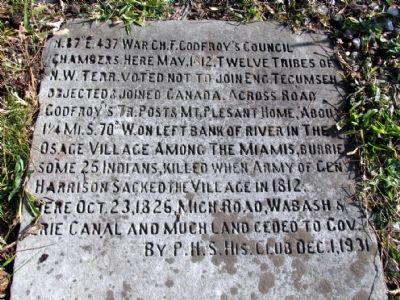
Chief Francis Godfroy's Council Chambers
Erected 1931 by Peru High School History Club.
Topics. This historical marker is listed in these topic lists: Native Americans • War of 1812. A significant historical month for this entry is May 1812.
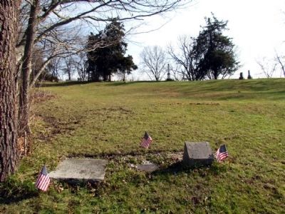
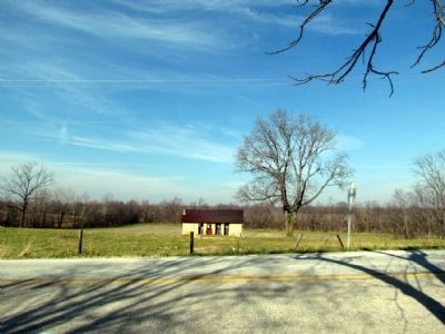
Location. 40° 45.063′ N, 85° 59.6′ W. Marker is near Peru, Indiana, in Miami County. Marker is at the intersection of State Road 124 and County Road E 100 S on State Road 124. The marker is on the ground approximately 30 feet west of the Indiana Historical Bureau marker for "Burial Place of Francis Godfroy". Touch for map. Marker is in this post office area: Peru IN 46970, United States of America. Touch for directions.
Other nearby markers. At least 8 other markers are within 4 miles of this marker, measured as the crow flies. Burial Place of Francis Godfroy (here, next to this marker); House of Chief Richardville (approx. 1.4 miles away); Lost Sister Trail (approx. 3.2 miles away); The Peru Public Library (approx. 3.8 miles away); The Little Girl with her Bike; Marie Sturat Edwards (approx. 3.8 miles away); Jerimiah Mugivan 1874-1930 (approx. 3.8 miles away); Replica of the Statue of Liberty (approx. 3.9 miles away); Votes For Women (approx. 4 miles away). Touch for a list and map of all markers in Peru.
Credits. This page was last revised on June 16, 2016. It was originally submitted on November 16, 2012, by Duane Hall of Abilene, Texas. This page has been viewed 741 times since then and 29 times this year. Photos: 1, 2, 3. submitted on November 16, 2012, by Duane Hall of Abilene, Texas. • Bill Pfingsten was the editor who published this page.


