Jackson in Madison County, Tennessee — The American South (East South Central)
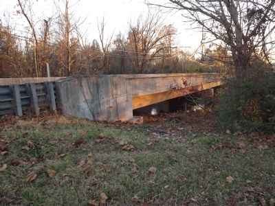
Campbell's Levee Bridge
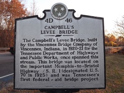
The Campbell's Levee Bridge, built by the Vincennes Bridge Company of Vincennes, Indiana, in 1920-21 for the Tennessee Department of Highways and Public Works, once spanned this stream. This bridge was located on the important Memphis-to-Bristol Highway / S.R. 1 (designated US 70 in 1925) and was Tennessee's first federal-aid bridge project.
(reverse)
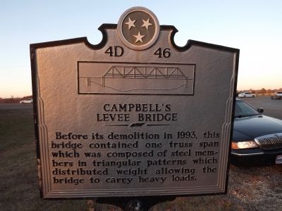
Before its demolition in 1993, this bridge contained one truss span which was composed of steel members in triangular patterns which distributed weight allowing the bridge to carry heavy loads.
Erected by Tennessee Historical Commission. (Marker Number 4D 46.)
Topics and series. This historical marker is listed in this topic list: Bridges & Viaducts. In addition, it is included in the Tennessee Historical Commission series list. A significant historical year for this entry is 1993.
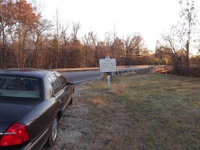
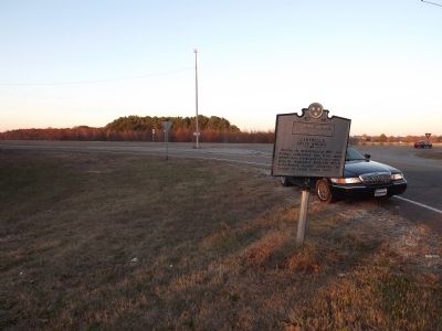
Location. 35° 37.075′ N, 88° 51.09′ W. Marker is in Jackson, Tennessee, in Madison County. Marker is at the intersection of Westover Road (Tennessee Route 8206) and Airways Boulevard (U.S. 70), on the right when traveling south on Westover Road. Touch for map. Marker is in this post office area: Jackson TN 38301, United States of America. Touch for directions.
Other nearby markers. At least 8 other markers are within 2 miles of this marker, measured as the crow flies. Camp Beauregard (approx. 1.2 miles away); Lambuth College (approx. 1.4 miles away); Riverside Cemetery (approx. 1˝ miles away); Illinois Central Railroad Division Office (approx. 1.7 miles away); Andersons & Claytons Memorial (approx. 1.8 miles away); Monroe Dunaway Anderson 1873-1939 / Anderson, Clayton & Company (approx. 1.8 miles away); 61st US Colored Infantry Regiment (approx. 1.8 miles away); F.E. Anderson & Co. Cotton Yard (approx. 1.8 miles away). Touch for a list and map of all markers in Jackson.
Credits. This page was last revised on June 16, 2016. It was originally submitted on November 17, 2012, by Ken Smith of Milan, Tennessee. This page has been viewed 528 times since then and 41 times this year. Photos: 1, 2, 3, 4, 5. submitted on November 17, 2012, by Ken Smith of Milan, Tennessee. • Bernard Fisher was the editor who published this page.
