Kermit in Winkler County, Texas — The American South (West South Central)
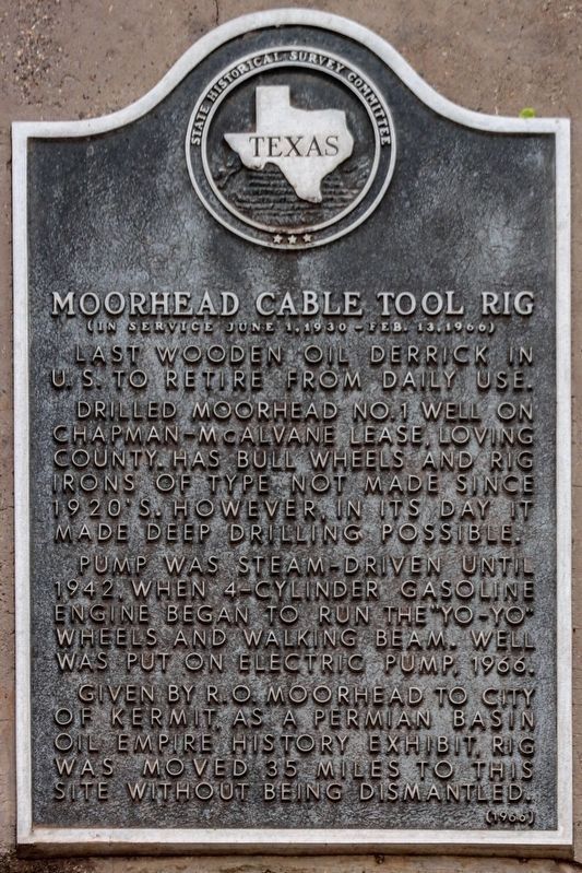
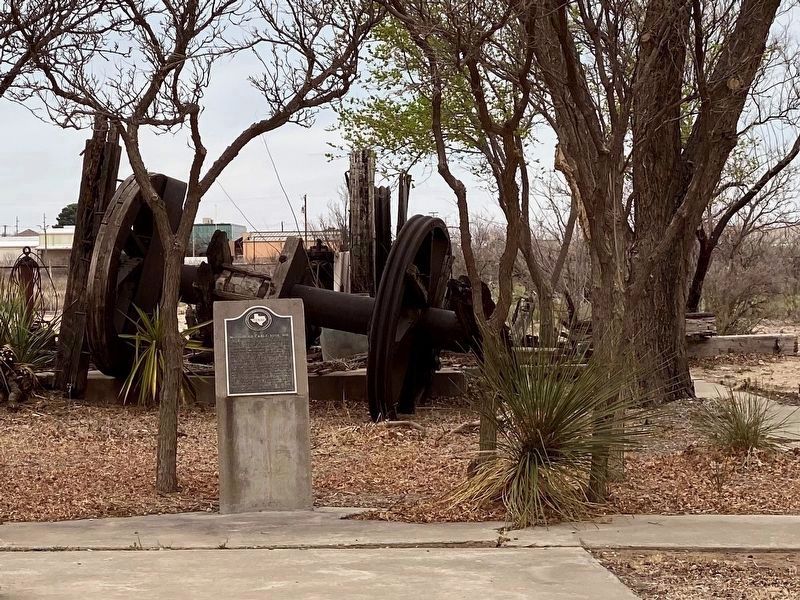
Moorhead Cable Tool Rig
(in service June 1, 1930 - Feb. 13, 1966)
Pump was steam-driven until 1942, when 4-cylinder gasoline engine began to run the "Yo-Yo" wheels and walking beam. Well was put on electric pump, 1966.
Given by R.O. Moorhead to city of Kermit, as a Permian Basin oil empire history exhibit, rig was moved 35 miles to this site without being dismantled.
Erected 1966 by State Historical Survey Committee. (Marker Number 3465.)
Topics. This historical marker is listed in this topic list: Industry & Commerce. A significant historical year for this entry is 1942.
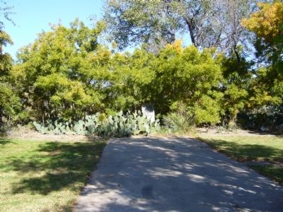
Location. 31° 51.389′ N, 103° 4.775′ W. Marker is in Kermit, Texas, in Winkler County. Marker is on School Street, 0.1 miles east of South East Street, on the right when traveling west. Touch for map. Marker is in this post office area: Kermit TX 79745, United States of America. Touch for directions.
Other nearby markers. At least 8 other markers are within 9 miles of this marker, measured as the crow flies. Kermit (approx. half a mile away); The Community Church (approx. ¾ mile away); Colonel C. M. Winkler (approx. 0.8 miles away); Old Duval Townsite (approx. 3 miles away); Winkler County Discovery Well (approx. 8.3 miles away); Wink (approx. 8.4 miles away); Roy Orbison (approx. 8.4 miles away); Old Wink Cemetery (approx. 9 miles away). Touch for a list and map of all markers in Kermit.
Credits. This page was last revised on March 25, 2021. It was originally submitted on November 23, 2012, by Bill Kirchner of Tucson, Arizona. This page has been viewed 671 times since then and 26 times this year. Photos: 1. submitted on March 25, 2021, by Brian Anderson of Humble, Texas. 2. submitted on November 23, 2012, by Bill Kirchner of Tucson, Arizona. 3. submitted on March 25, 2021, by Brian Anderson of Humble, Texas. • Bernard Fisher was the editor who published this page.


