Kermit in Winkler County, Texas — The American South (West South Central)
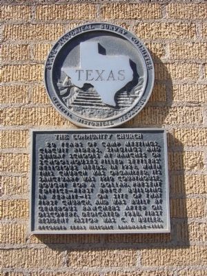
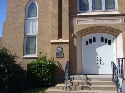
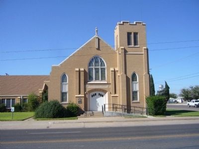
The Community Church
Erected 1966 by State Historical Survey Committee. (Marker Number 1005.)
Topics. This historical marker is listed in this topic list: Churches & Religion. A significant historical year for this entry is 1928.
Location. 31° 51.328′ N, 103° 5.555′ W. Marker is in Kermit, Texas, in Winkler County. Marker is at the intersection of South Poplar Street (State Highway 18) and East Bryan Street, on the right when traveling south on South Poplar Street. Touch for map. Marker is at or near this postal address: 302 South Poplar Street, Kermit TX 79745, United States of America. Touch for directions.
Other nearby markers. At least 8 other markers are within 9 miles of this marker, measured as the crow flies. Colonel C. M. Winkler (about 500 feet away, measured in a direct line); Moorhead Cable Tool Rig (approx. ¾ mile away); Kermit (approx. one mile away); Old Duval Townsite (approx. 2.3 miles away); Winkler County Discovery Well (approx. 7.8 miles away); Wink (approx. 8 miles away); Roy Orbison (approx. 8 miles away); Old Wink Cemetery (approx. 8½ miles away). Touch for a list and map of all markers in Kermit.
Credits. This page was last revised on June 16, 2016. It was originally submitted on November 23, 2012, by Bill Kirchner of Tucson, Arizona. This page has been viewed 396 times since then and 11 times this year. Photos: 1, 2, 3. submitted on November 23, 2012, by Bill Kirchner of Tucson, Arizona. • Bernard Fisher was the editor who published this page.


