Davis in Yolo County, California — The American West (Pacific Coastal)
Briggs Reservoir
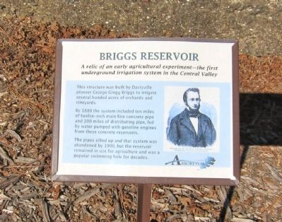
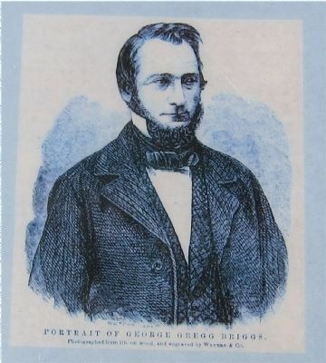
The structure was built by Davisville pioneer George Gregg Briggs to irrigate several hundred acres of orchards and vineyards.
By 1880 the system included ten miles of twelve-inch main line concrete pipe and 200 miles of distributing pipe, fed by water pumped with gasoline engines from the concrete reservoirs.
The pipes silted up and that system was abandoned by 1900, but the reservoir remained in use for agriculture and was a popular swimming hole for decades.
Erected by UC Davis Arboretum.
Topics. This historical marker is listed in this topic list: Agriculture. A significant historical year for this entry is 1880.
Location. Marker has been reported missing. It was located near 38° 31.909′ N, 121° 45.396′ W. Marker was in Davis, California, in Yolo County. Marker was on Old Davis Road, on the left when traveling east. Touch for map. Marker was in this post office area: Davis CA 95616, United States of America. Touch for directions.
Other nearby markers. At least 8 other markers are within 2 miles of this location, measured as the crow flies. Solano House (within shouting distance of this marker); Lake Spafford (approx. 0.6 miles away); Site of the Jerome C. and Mary Chiles Davis Homestead (approx. ¾ mile away); First Bicycle Lanes in Davis (approx. 1.1 miles away); Davis Subway (approx. 1.1 miles away); Old Davis High School (approx. 1.2 miles away); Dresbach-Hunt-Boyer Mansion (approx. 1.2 miles away); Site of the First Yolo County Public Library Branch (approx. 1.2 miles away). Touch for a list and map of all markers in Davis.
More about this marker. The marker is located on the UC Davis Campus just off of Old Davis Road, on the Arboretum path on the south side of Putah Creek. If approaching from the south, the marker is visible roughly at the point where Old Davis Road turns east.
Also see . . . Off the Beaten Path - Briggs Reservoir. UC Davis' page for the Briggs Reservoir. (Submitted on November 25, 2012.)

Photographed By Andrew Ruppenstein, November 25, 2012
4. Briggs Reservoir Marker - wide view of the marker
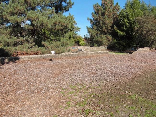
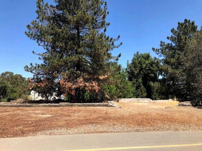
The reservoir is now more or less filled to ground level, leaving little to see except for the remains of the cement walls outlining the reservoirs, visible here in the picture. As recently as 15 years ago the tanks were not nearly as filled in, nor was the cement as covered with graffiti as it is now.
Credits. This page was last revised on June 22, 2021. It was originally submitted on November 25, 2012, by Andrew Ruppenstein of Lamorinda, California. This page has been viewed 562 times since then and 11 times this year. Photos: 1. submitted on November 25, 2012, by Andrew Ruppenstein of Lamorinda, California. 2. submitted on June 10, 2021, by Diane Phillips of Pittsburg, California. 3, 4. submitted on November 25, 2012, by Andrew Ruppenstein of Lamorinda, California. • Syd Whittle was the editor who published this page.


