Lewisburg in Greenbrier County, West Virginia — The American South (Appalachia)
Carnegie Hall
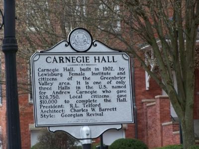
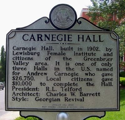
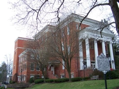
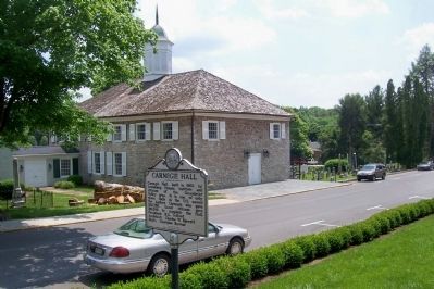
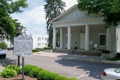
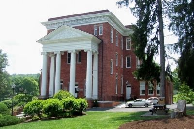
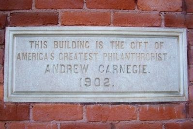
Carnegie Hall, built in 1902, by Lewisburg Female Institute and citizens of the Greenbrier Valley area. It is one of only three Halls in the U.S. named for Andrew Carnegie who gave $26,750. Local citizens gave $10,000 to complete the Hall.
President: R. L. Telford
Architect: Charles W. Barrett
Style: Georgian Revival
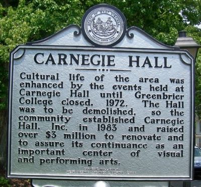
Cultural life of the area was enhanced by the events held at Carnegie Hall until Greenbrier College closed, 1972. The Hall was to be demolished, so the community established Carnegie Hall, Inc. in 1983 and raised over $3 million to renovate and to assure its continuance as an important center of visual and performing arts.
Erected 2008 by Carnegie Hall Guild & West Virginia Archives & History.
Topics and series. This historical marker is listed in these topic lists: Education • Entertainment. In addition, it is included in the West Virginia Archives and History series list. A significant historical year for this entry is 1902.
Location. 37° 48.127′ N, 80° 26.893′ W. Marker is in Lewisburg, West Virginia, in Greenbrier County. Marker is on Church St., on the right when traveling south. Touch for map. Marker is in this post office area: Lewisburg WV 24901, United States of America. Touch for directions.
Other nearby markers. At least 8 other markers are within walking distance of this marker. Greenbrier College / Greenbrier Hall (a few steps from this marker); Rev. John McElhenney, D.D. (within shouting distance of this marker); Battle of Lewisburg (within shouting distance of this marker); a different marker also named Battle of Lewisburg (about 300 feet away, measured in a direct line); The Lewisburg Foundation (about 300 feet away); Dick Pointer (about 400 feet away); Shuck Memorial Baptist Church (about 400 feet away); William Cammack Campbell (about 400 feet away). Touch for a list and map of all markers in Lewisburg.
Also see . . . Carnegie Hall website. Website homepage (Submitted on May 26, 2009, by Bill Pfingsten of Bel Air, Maryland.)
Credits. This page was last revised on January 26, 2022. It was originally submitted on May 26, 2009, by Bill Pfingsten of Bel Air, Maryland. This page has been viewed 1,299 times since then and 20 times this year. Last updated on November 28, 2012, by Forest McDermott of Masontown, Pennsylvania. Photos: 1. submitted on May 26, 2009, by Bill Pfingsten of Bel Air, Maryland. 2, 3. submitted on November 28, 2012, by Forest McDermott of Masontown, Pennsylvania. 4. submitted on May 26, 2009, by Bill Pfingsten of Bel Air, Maryland. 5, 6, 7, 8. submitted on November 28, 2012, by Forest McDermott of Masontown, Pennsylvania.
