Indiana's Northern Boundary Line
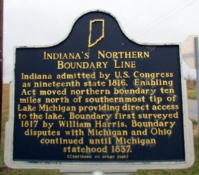
(Front Side)
Indiana admitted by the U.S. Congress as nineteenth state 1816. Enabling Act moved northern boundary ten miles north of southernmost tip of Lake Michigan providing direct access to the lake. Boundary first surveyed 1817 by William Harris. Boundary disputes with Michigan and Ohio continued until Michigan statehood 1837.
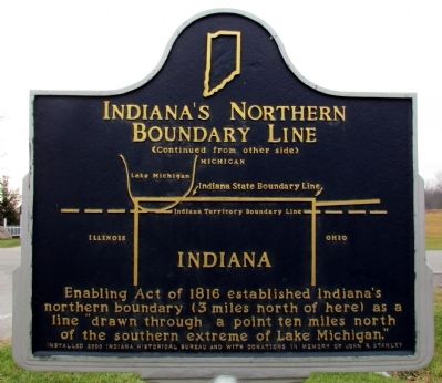
(Back Side)
(Map of Indiana State Boundary Line and Indiana Territory Boundary Line)
Enabling Act of 1816 established Indiana's northern boundary (3 miles north of here) as a line "drawn through a point ten miles north of the southern extreme of Lake Michigan."
Erected 2000 by Indiana Historical Bureau. (Marker Number 76.2000.1.)
Topics and series. This historical marker is listed in this topic list: Political Subdivisions. In addition, it is included in the Indiana Historical Bureau Markers series list. A significant historical year for this entry is 1816.
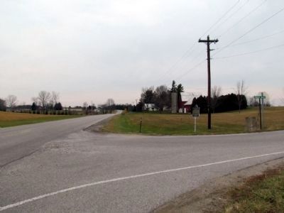
Location. 41° 43.589′ N, 84° 50.756′ W. Marker is near Fremont, Indiana, in Steuben County. Marker is at the intersection of State Road 120 and Fountain Road, on the left when traveling east on State Road 120. Marker is at northwest corner of intersection. Touch for map. Marker is in this post office area: Fremont IN 46737, United States of America. Touch for directions.
Other nearby markers. At least 8 other markers are within 5 miles of
More about this marker. This marker replaced marker #76.1966.1, that was entitled "Corner of Indiana".
It stated:
(3 miles north-east)
Located by Surveyor William Harris in 1817. Ten miles north of the original Indiana-Michigan Territorial line of 1805, the new state boundary gave Indiana frontage on Lake Michigan.
Related markers. Click here for a list of markers that are related to this marker. The list includes other historical markers about the Indiana Territory northern boundary line.
Credits. This page was last revised on August 6, 2020. It was originally submitted on November 30, 2012, by Duane Hall of Abilene, Texas. This page has been viewed 1,049 times since then and 18 times this year. Photos: 1, 2, 3. submitted on November 30, 2012, by Duane Hall of Abilene, Texas. • Bill Pfingsten was the editor who published this page.


