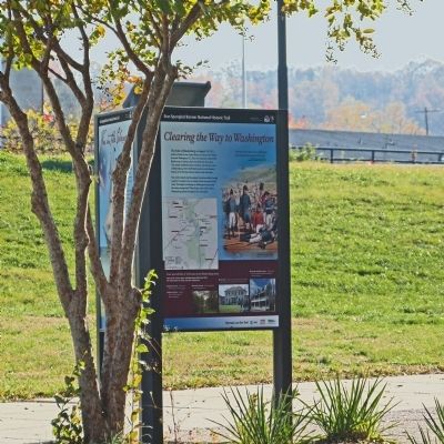
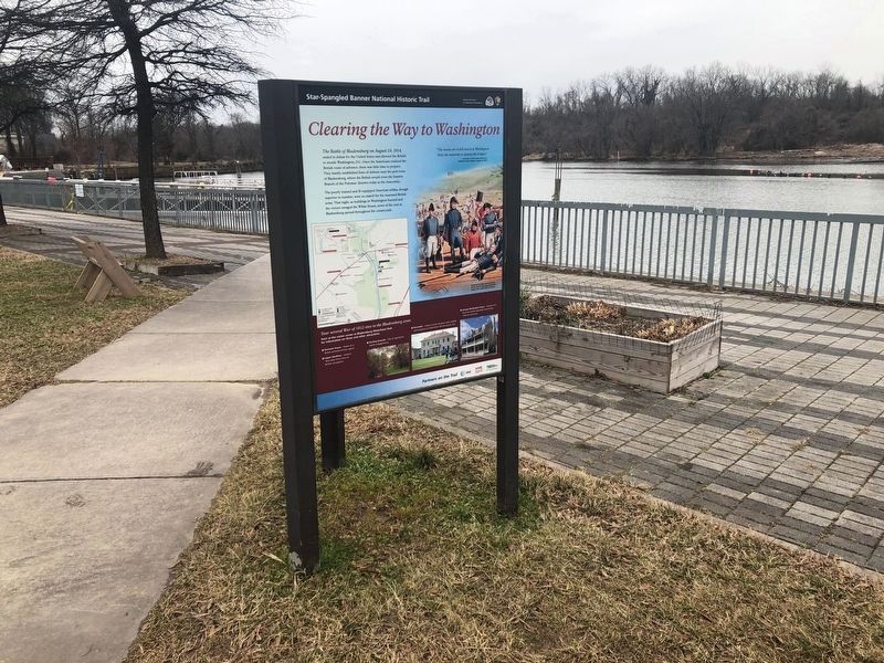
Clearing the Way to Washington
Star-Spangled Banner National Historic Trail
— National Park Service, U.S. Department of the Interior —
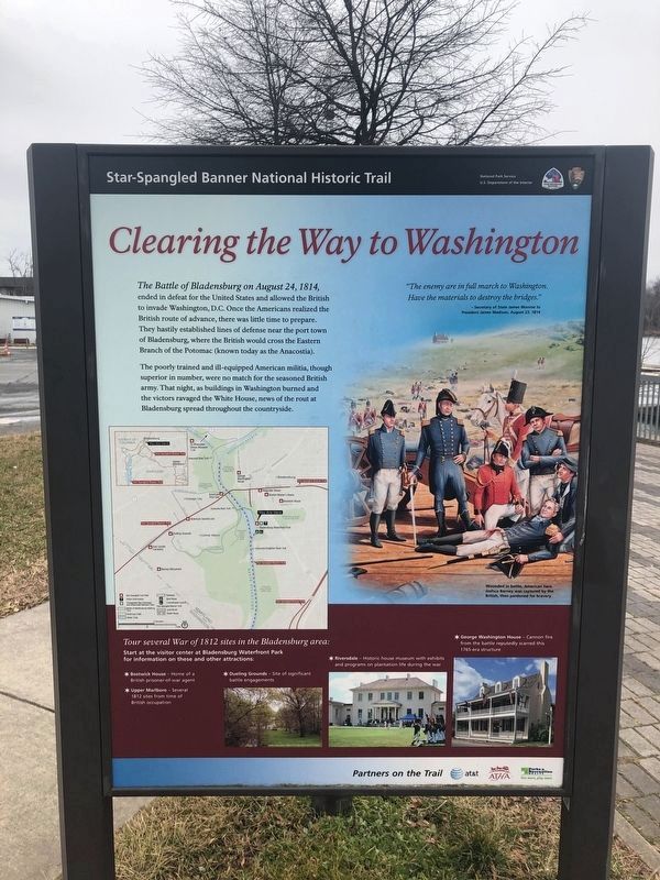
The Battle of Bladensburg on August 24, 1814, ended in defeat for the United States and allowed the British to invade Washington, D.C. Once the Americans realized the British route of advance, there was little time to prepare. They hastily established lines of defense near the port town of Bladensburg, where the British would cross the Eastern Branch of the Potomac (known today as the Anacostia).
The poorly trained and ill-equipped American militia, though superior in number, were no match for the seasoned British army. That night, as buildings in Washington burned and the victors ravaged the White House, news of the rout at Bladensburg spread throughout the countryside.
"The enemy are in full march to Washington. Have the materials to destroy the bridges." -- Secretary of State James Monroe to President James Madison, August 23, 1814.
[Sidebar:]
Tour several War of 1812 sites in the Bladensburg area:
Start at the visitor center at Bladensburg Waterfront Park for information on these and other attractions:
* Bostwick House -- Home of a British prisoner-of-war agent
* Upper Marlboro -- Several 1812 sites from time of British occupation
* Dueling Grounds -- Site of significant battle engagements
* Riversdale -- Historic house museum with exhibits and programs
on plantation life during the war
* George Washington House -- Cannon fire from the battle reputedly scarred this 1765-era structure
[Caption:]
Wounded in battle, American hero Joshua Barney was captured by the British, then pardoned for bravery.
Erected by National Park Service, U.S. Department of the Interior.
Topics and series. This historical marker is listed in this topic list: War of 1812. In addition, it is included in the Former U.S. Presidents: #04 James Madison, and the Former U.S. Presidents: #05 James Monroe series lists. A significant historical year for this entry is 1814.
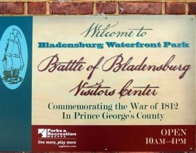
Location. 38° 56.062′ N, 76° 56.3′ W. Marker is in Bladensburg, Maryland, in Prince George's County. In Bladensburg Waterfront Park in front of the Visitors Center. Touch for map. Marker is at or near this postal address: Anacostia Tributary Trail System, Bladensburg MD 20710, United States of America. Touch for directions.
Other nearby markers. At least 8 other markers are within walking distance of this marker. Joshua Barney's Barge and the Chesapeake Flotilla (here, next to this marker); Bladensburg Floods (1742-1954) (a few steps from this marker); The First Telegraph Line (1844) (within shouting distance of this marker); Colonial Ropemaking (within shouting distance of this marker); Encampment of Coxey's Army (1894)
Credits. This page was last revised on January 9, 2022. It was originally submitted on December 2, 2012, by Allen C. Browne of Silver Spring, Maryland. This page has been viewed 745 times since then and 17 times this year. Photos: 1, 2, 3, 4. submitted on February 12, 2021, by Devry Becker Jones of Washington, District of Columbia. 5. submitted on December 2, 2012, by Allen C. Browne of Silver Spring, Maryland. 6. submitted on December 16, 2012, by Allen C. Browne of Silver Spring, Maryland. • Bill Pfingsten was the editor who published this page.
