Mannboro in Amelia County, Virginia — The American South (Mid-Atlantic)
Lee’s Retreat
Inscription.
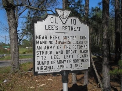
Here Custer, commanding advance guard of an Army of the Potomac, struck and drove back Fitz Lee, left flank guard of Army of Northern Virginia, April 3, 1865.
Erected 1935 by Conservation & Development Commission. (Marker Number OL-10.)
Topics and series. This historical marker is listed in this topic list: War, US Civil. In addition, it is included in the Virginia Department of Historic Resources (DHR) series list. A significant historical date for this entry is April 3, 1865.
Location. 37° 14.956′ N, 77° 43.523′ W. Marker is in Mannboro, Virginia, in Amelia County. Marker is at the intersection of Namozine Road (Virginia Route 708) and Mill Quarter Road (Virginia Route 622), on the left when traveling north on Namozine Road. Touch for map. Marker is in this post office area: Mannboro VA 23105, United States of America. Touch for directions.
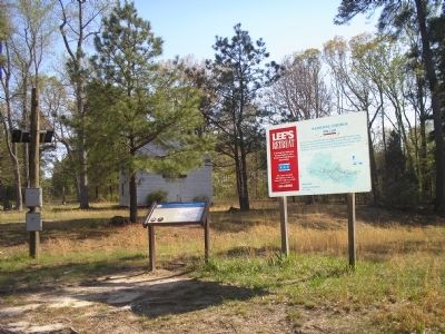
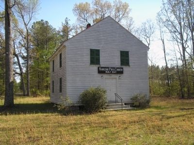
Other nearby markers. At least 8 other markers are within 9 miles of this marker, measured as the crow flies. Namozine Church (here, next to this marker); a different marker also named Namozine Church (here, next to this marker); William Ransom Johnson (approx. 5.2 miles away); Eppington (approx. 5˝ miles away); Battle of Five Forks (approx. 6˝ miles away); Ford's Depot (approx. 6.9 miles away); Piney Grove Church Meeting Site (approx. 7.6 miles away); Clover Hill Mining District (approx. 8.2 miles away). Touch for a list and map of all markers in Mannboro.
Also see . . .
1. Lee’s Retreat. (Submitted on March 12, 2008, by Bill Coughlin of Woodland Park, New Jersey.)
2. Lee's Retreat to Appomattox. Virginia Civil War Trails (Submitted on March 12, 2008, by Bill Coughlin of Woodland Park, New Jersey.)
Credits. This page was last revised on July 3, 2021. It was originally submitted on March 12, 2008, by Bill Coughlin of Woodland Park, New Jersey. This page has been viewed 1,363 times since then and 17 times this year. Photos: 1, 2, 3. submitted on March 12, 2008, by Bill Coughlin of Woodland Park, New Jersey. • Craig Swain was the editor who published this page.


