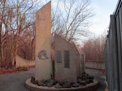
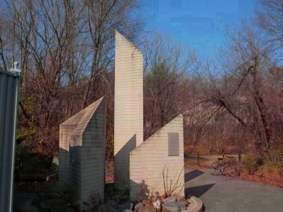
Potomac River
— Chesapeake and Ohio Canal National Historical Park —
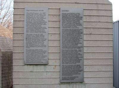
Human habitation in the Potomac River Basin has existed for 9,000 years, according to archeological evidence. The name "Potomac" derives from the Algonquian word "patawomeke," which means "trading place." The first English settlement, St. Mary's City, was founded in 1634. Alexandria, Virginia was planned in 1749; Washington, D.C. in 1791.
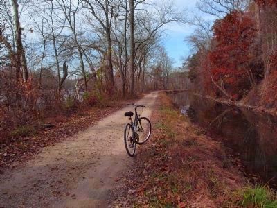
The "Potomack Canal," promoted by George Washington, was begun in 1785. Efforts continued until 1819. Work was resumed by the Chesapeake and Ohio Canal Company on July 4, 1828, continuing until 1850. Of an originally proposed 350 miles, 184 miles were completed. 74 lift-locks raised or lowered barges 605 feet. The canal has 11 stone aqueducts, 7 dams, and a 3,115-foot tunnel. It was built by workers from Ireland, Germany, The Netherlands and Wales.
The canal's peak year was 1871 when 850,000 tons were carried. As many as 540 barges, each carrying 120 tons, conveyed lumber, coal, stone, grain, flour and whiskey. Barges traveled 4 mph and made about 30 trips annually. A disastrous flood in 1889 nearly destroyed the canal. It was rebuilt and used until 1924.
The C. & O. Canal had cost $22 million. On the day its construction began, work also began on the B. & O. Railroad. The railroad rivaled the canal, reaching Cumberland, Maryland 8 years earlier, thus spelling its obsolescence.
In
1971 the C. & O. Canal became a National Historical Park.Topics and series. This historical marker is listed in these topic lists: Industry & Commerce • Waterways & Vessels. In addition, it is included in the Baltimore and Ohio Railroad (B&O), and the Chesapeake and Ohio (C&O) Canal series lists. A significant historical month for this entry is July 1962.
Location. 39° 2.276′ N, 77° 15.31′ W. Marker is near Potomac, Maryland, in Montgomery County. Marker can be reached from Swains Lock Road. Located along the towpath of the C. & O. Canal National Historical Park. Nearest parking lot is at 10700 Swains Lock Road. Marker is 0.8 miles west of the parking lot. Touch for map. Marker is in this post office area: Potomac MD 20854, United States of America. Touch for directions.
Other nearby markers. At least 8 other markers are within 3 miles of this marker, measured as the crow flies. Potomac Connections (approx. 1.4 miles away in Virginia); River Crossing at Conn's Ferry (approx. 1.4 miles away in Virginia); American Indians of the Potomac River (approx. 1˝ miles away in Virginia); Lockhouse 22 (approx. 2.1 miles away); Gold Mining in Maryland (approx. 2.6 miles away); Welcome to Great Falls (approx. 2.6 miles away); Washington Aqueduct (approx. 2.6 miles away); Great Falls Tavern (approx. 2.6 miles away). Touch for a list and map of all markers in Potomac.
Regarding Potomac River. Additional marker inscriptions:
The Potomac River
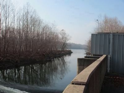
You are standing 176 feet above sea level, near the mid-point of the Potomac River, and on the intake structure of the Potomac River Water Filtration Plant of the Washington Suburban Sanitary Commission. The Potomac's source is 252 miles upstream, to the west. The source is at the "Fairfax Stone" located near Maryland's southwest corner. The "Fairfax Stone" is 3,125 feet above sea level, 2,949 feet above where you stand.
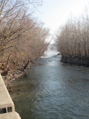
The Great Falls of the Potomac is 3 miles downstream from here, to the southeast. Little Falls is 11 miles downstream and the estuary, at sea level, begins 13 miles downstream. The distance to the mouth of the Potomac is 130 miles. The river's overall length, from source to mouth, is 382 miles.
Its average width from Harpers Ferry to Washington is 1,500 feet, except at Great Falls where it narrows to a 200-foot gorge. At its mouth, between Point Lookout, Maryland, and Smith Point, Virginia, the river is 11.3 miles wide. Its deepest known point is 107 feet, near Morgantown, Maryland.
Areas
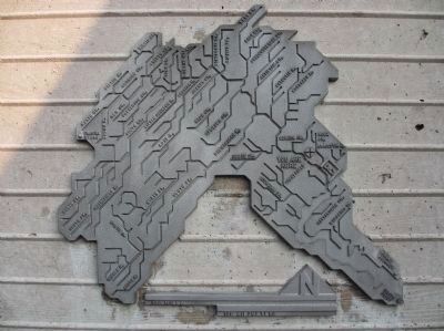
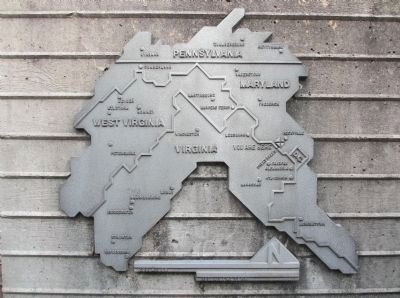
The Potomac River Basin contains 14,670 square miles, less than a half percent of all the land area of the United States. Among American rivers that flow into tidal estuaries, it ranks 21st in amount of land area it drains, 25th in length, and 26th in the volume of water it carries. Its 14,670 square
Virginia: 5,723 sq miles, 39.0%
Maryland: 3,818 sq miles, 26.0%
West Virginia: 3,490 sq miles, 23.8%
Pennsylvania: 1,570 sq miles, 10.7 %
District of Columbia: 69 sq miles, 0.5%
The C. & O. National Historical Park covers 17 square miles.
Credits. This page was last revised on September 28, 2020. It was originally submitted on December 3, 2012, by Patricia Strat of Oakton, Virginia. This page has been viewed 712 times since then and 12 times this year. Photos: 1. submitted on December 3, 2012, by Patricia Strat of Oakton, Virginia. 2, 3, 4, 5, 6, 7, 8. submitted on December 4, 2012, by Patricia Strat of Oakton, Virginia. • Bill Pfingsten was the editor who published this page.
