Berry Creek in Butte County, California — The American West (Pacific Coastal)
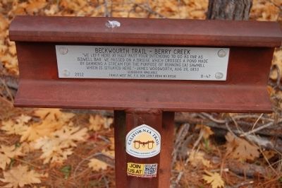
Beckwourth Trail – Berry Creek
Erected 2012 by Trails West Inc. (Marker Number B047.)
Topics and series. This historical marker is listed in this topic list: Roads & Vehicles. In addition, it is included in the California Trail, and the Trails West Inc. series lists. A significant historical date for this entry is August 19, 1922.
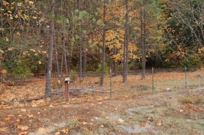
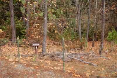
Location. 39° 39.001′ N, 121° 24.487′ W. Marker is in Berry Creek, California, in Butte County. Marker is on Oroville-Quincy Highway (Route 162). This marker is opposite the north shore of Madrone Lake. Touch for map. Marker is at or near this postal address: 1601 Oroville-Quincy Highway, Berry Creek CA 95916, United States of America. Touch for directions.
Other nearby markers. At least 8 other markers are within 9 miles of this marker, measured as the crow flies. Lake Madrone Cemetery (about 600 feet away, measured in a direct line); Cherokee (approx. 7 miles away); Yankee Hill (approx. 7.2 miles away); Bald Rock Dome (approx. 7.4 miles away); Oregon City Cemetery (approx. 7˝ miles away); Oregon City (approx. 7.6 miles away); Native Food Preparation (approx. 7.9 miles away); The Mother Orange Tree of Butte County (approx. 8.2 miles away).
Also see . . . The Beckwourth Trail - Beckwourth.org. "James Beckwourth discovered what is now known as Beckwourth Pass in the spring of 1850, and immediately set about establishing a trail to Marysville. He worked on the trail in the summer and fall of 1850 and the spring of 1851, and in the late summer of that year led the first wagon train of settlers along the trail into Marysville." (Submitted on December 9, 2012, by Barry Swackhamer of Brentwood, California.)
Credits. This page was last revised on April 21, 2020. It was originally submitted on December 9, 2012, by Barry Swackhamer of Brentwood, California. This page has been viewed 786 times since then and 33 times this year. Photos: 1, 2, 3. submitted on December 9, 2012, by Barry Swackhamer of Brentwood, California. • Syd Whittle was the editor who published this page.


