Royston in Franklin County, Georgia — The American South (South Atlantic)
Royston, GA / U.S. Bicentennial Monument
Inscription.
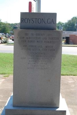
North Inscription
The tri-county city
where agriculture and industry
join hands with progress!
Mid Strickland, Mayor
Imogene Lester, City Clerk
Councilmen
Ben Dickson
Jerry Gaines, Mayor Pro-tem
Herbert Norton
William O. Pruitt
Charles Ray
Alfred Strickland
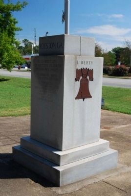
West Side
Liberty Bell
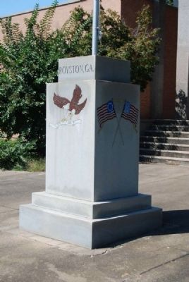
South Side
Bald Eagle
1776 - 1976
East Side
Erected 1976.
Topics and series. This historical marker and monument is listed in these topic lists: Settlements & Settlers • War, US Revolutionary. In addition, it is included in the The Spirit of ’76, America’s Bicentennial Celebration series list.
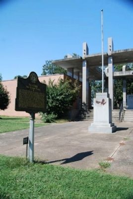
Location. 34° 17.1′ N, 83° 7.225′ W. Marker is in Royston, Georgia, in Franklin County. Marker is on Franklin Spings Street (U.S. 29), on the right when traveling west. Monument is located on south side of the grounds of Royston City Hall. Touch for map. Marker is at or near this postal address: 634 Franklin Springs Street, Royston GA 30662, United States of America. Touch for directions.
Other nearby markers. At least 10 other markers are within 5 miles of this marker, measured as the crow flies. Tyrus Raymond Cobb (here, next to this marker); Ty Cobb (here, next to this marker); Dr. Stewart D. Brown, Sr. (approx. half a mile away); Original Site and Portions (approx. 1˝ miles away); Historical Franklin Springs (approx. 1˝ miles away); The Franklin Springs (approx. 1˝ miles away); a different marker also named Historical Franklin Springs (approx. 1.6 miles away); Poplar Springs Methodist Camp Ground (approx. 4 miles away); Redwine Church (approx. 4 miles away); Goldmine (approx. 4.3 miles away). Touch for a list and map of all markers in Royston.
Credits. This page was last revised on June 16, 2016. It was originally submitted on December 10, 2012, by Brian Scott of Anderson, South Carolina. This page has been viewed 499 times since then and 15 times this year. Photos: 1, 2, 3, 4. submitted on December 10, 2012, by Brian Scott of Anderson, South Carolina.


