Santa Fe in Santa Fe County, New Mexico — The American Mountains (Southwest)
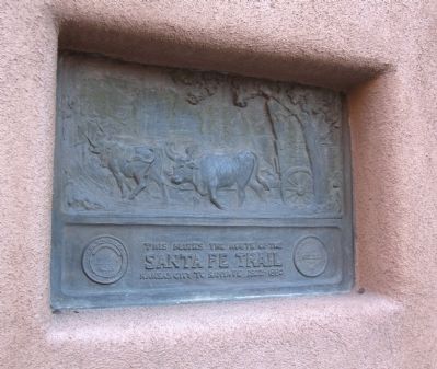
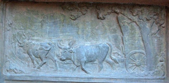
Santa Fe Trail
Topics and series. This historical marker is listed in these topic lists: Roads & Vehicles • Settlements & Settlers. In addition, it is included in the Santa Fe Trail series list. A significant historical year for this entry is 1880.
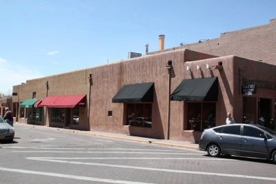
Location. 35° 41.213′ N, 105° 56.288′ W. Marker is in Santa Fe, New Mexico, in Santa Fe County. Marker is at the intersection of Old Santa Fe Trail and East San Francisco Street, on the right when traveling north on Old Santa Fe Trail. It is across from the La Fonda Hotel, embedded in the wall. Touch for map. Marker is in this post office area: Santa Fe NM 87501, United States of America. Touch for directions.
Other nearby markers. At least 8 other markers are within walking distance of this marker. End of Santa Fe Trail (within shouting distance of this marker); La Castrense (within shouting distance of this marker); To the Heroes (within shouting distance of this marker); U.S.S. Santa Fe CL-60 (within shouting distance of this marker); Annexation of New Mexico (about 300 feet away, measured in a direct line); El Palacio Real (about 300 feet away); Cut Stone Facade with Quoin (about 300 feet away); Site of Santa Fe’s First Chapel (about 300 feet away). Touch for a list and map of all markers in Santa Fe.
More about this marker. The inscription is flanked by the Great Seal of the State of Kansas and the seal of the City of Santa Fe, New Mexico.
Also see . . . At the End of the Stanta Fe Trail. Book by Sister Blandina Segale on Amazon.com. (Submitted on December 16, 2012.)
Credits. This page was last revised on June 16, 2016. It was originally submitted on December 16, 2012, by J. J. Prats of Powell, Ohio. This page has been viewed 844 times since then and 17 times this year. Photos: 1, 2, 3. submitted on December 16, 2012, by J. J. Prats of Powell, Ohio.


