Marker Logo HMdb.org THE HISTORICAL
MARKER DATABASE
“Bite-Size Bits of Local, National, and Global History”
Macedon in Wayne County, New York — The American Northeast (Mid-Atlantic)
 

Erie Lock 60


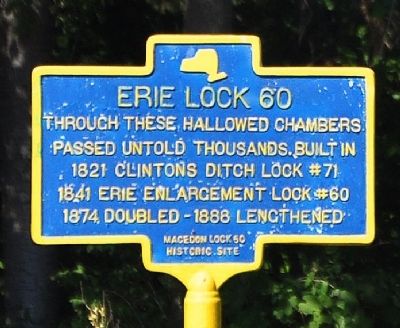
Erie Lock 60 Marker image. Click for full size.
Photographed By Yugoboy, September 1, 2012
1. Erie Lock 60 Marker
Inscription. Through these hallowed chambers passed untold thousands. Built in 1821 Clinton's Ditch Lock #71. 1841 Erie enlargement Lock #60. 1874 doubled - 1888 lengthened.
 
Erected by Macedon Lock 60 Historic Site.
 
Topics and series. This historical marker is listed in these topic lists: Industry & CommerceWaterways & Vessels. In addition, it is included in the Erie Canal series list. A significant historical year for this entry is 1841.
 
Location. 43° 4.207′ N, 77° 16.924′ W. Marker is in Macedon, New York, in Wayne County. Marker is on New York State Route 31, ¼ mile east of O'Neil Rd, on the left when traveling east. Based on the map used for determining Lat/Long the proper address for this should be Quaker Rd., but we saw this on a day trip along Rt. 31 It is, however, across the Erie Canal from 31 (see photos). Touch for map. Marker is at or near this postal address: 2574 Quaker Road, Palmyra NY 14522, United States of America. Touch for directions.
 
Other nearby markers. At least 8 other markers are within 2 miles of this marker, measured as the crow flies. Enlarged Erie Canal Lock 60 Historic Site (a few steps from this marker); First Settlers of Macedon (approx. 0.2 miles away); In Memory of Our Fallen Civil War Soldiers (approx. 0.9 miles away); Macedon's Honor Roll (approx. one mile away); May 29, 1800
Paid Advertisement
Click on the ad for more information.
Please report objectionable advertising to the Editor.
Click or scan to see
this page online
(approx. 1.1 miles away); Wilcoxen Home (approx. 1.1 miles away); Have You Wondered (approx. 1.2 miles away); Historic Sites (approx. 1.2 miles away). Touch for a list and map of all markers in Macedon.
 
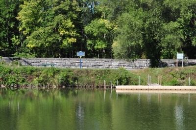
Erie Lock 60 Marker as seen across the Erie Canal from the Towpath Walking Trail image. Click for full size.
Photographed By Yugoboy, September 1, 2012
2. Erie Lock 60 Marker as seen across the Erie Canal from the Towpath Walking Trail
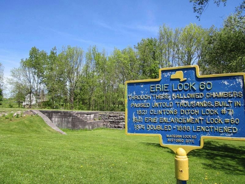
Erie Lock 60 & Marker image. Click for full size.
Photographed By Anton Schwarzmueller, May 21, 2018
3. Erie Lock 60 & Marker
Refer to the nearby "Enlarged Erie Canal Lock 60 Historic Site" marker in the database for how to physically access the site. The site is on the north side of the current Erie Barge Canal.
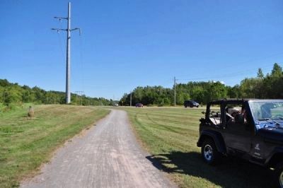
Facing East from Canal Towpath immediately opposite Canal from Marker image. Click for full size.
Photographed By Yugoboy, September 1, 2012
4. Facing East from Canal Towpath immediately opposite Canal from Marker
My Jeep is nest to the Towpath, the cars in the distance are driving on NYS Rt. 31
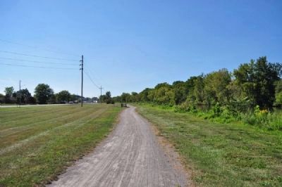
Facing West from Canal Towpath immediately opposite Canal from Marker image. Click for full size.
Photographed By Yugoboy, September 1, 2012
5. Facing West from Canal Towpath immediately opposite Canal from Marker
Image taken from along Canal Towpath walking trail. Cars in distance driving along NYS Rt. 31
 
 
Credits. This page was last revised on September 21, 2021. It was originally submitted on December 16, 2012, by Yugoboy of Rochester, New York. This page has been viewed 419 times since then and 3 times this year. Photos:   1, 2. submitted on December 16, 2012, by Yugoboy of Rochester, New York.   3. submitted on May 22, 2018, by Anton Schwarzmueller of Wilson, New York.   4, 5. submitted on December 16, 2012, by Yugoboy of Rochester, New York. • Bill Pfingsten was the editor who published this page.
Share this page.  
Share on Tumblr
m=61898

CeraNet Cloud Computing sponsors the Historical Marker Database.
This website earns income from purchases you make after using our links to Amazon.com. We appreciate your support.
Paid Advertisements
Mar. 19, 2024