Near Port Gibson in Claiborne County, Mississippi — The American South (East South Central)
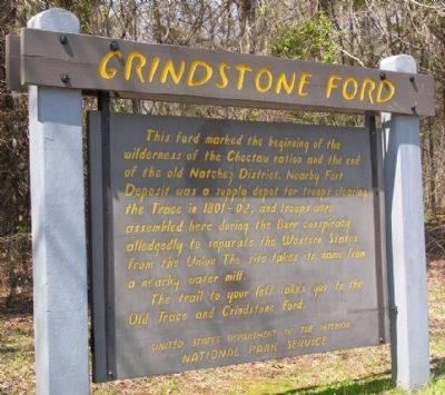
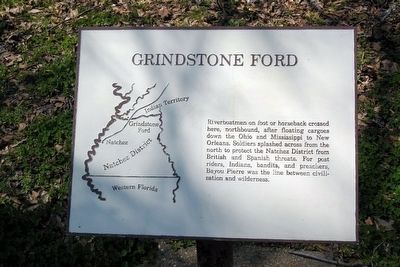
Grindstone Ford
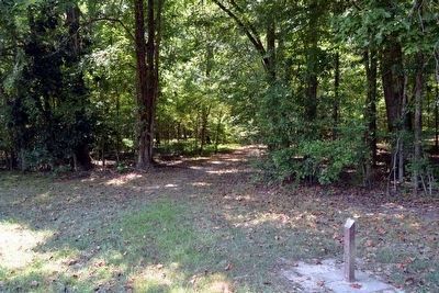
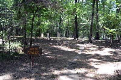
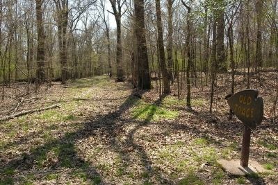
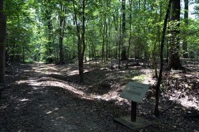
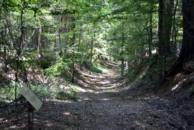
The trail to your left takes you to the Old Trace and Grindstone Ford.
Erected by National Park Service.
Topics and series. This historical marker is listed in these topic lists: Forts and Castles • Roads & Vehicles. In addition, it is included in the Natchez Trace series list.
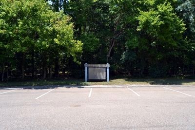
Location. 32° 0.177′ N, 90° 53.734′ W. Marker is near Port Gibson, Mississippi, in Claiborne County. Marker is on Natchez Trace Parkway (at milepost 45.7). Marker is located next to parking lot at end of turnoff road for Grindstone Ford from Natchez Trace Parkway. Touch for map. Marker is in this post office area: Port Gibson MS 39150, United States of America. Touch for directions.
Other nearby markers. At least 8 other markers are within 6 miles of this marker, measured as the crow flies. Skirmish at Willow Springs (approx. 2.3 miles away); Fight for Hankinson's Ferry (approx. 2.6 miles away); Grant at Hankinson's Ferry (approx. 2.6 miles away); Site of the Hermitage (approx. 3.6 miles away); Sunken Trace (approx. 4.2 miles away); The Road to Vicksburg (approx. 4.7 miles away); Owens Creek (approx. 5.7 miles away); St. Peter A.M.E. Church (approx. 5.8 miles away). Touch for a list and map of all markers in Port Gibson.
Also see . . . Natchez Trace Parkway. Official National Park Service website. (Submitted on August 17, 2015.)
Photographed By Duane Hall, March 22, 2010
4. Grindstone Ford Interpretive Sign
Riverboatmen on foot or horseback crossed here, northbound, after floating cargoes down the Ohio and Mississippi to New Orleans. Soldiers splashed across from the north to protect the Natchez District from British and Spanish threats. For post riders, Indians, bandits, and preachers, Bayou Pierre was the line between civilization and wilderness.
Photographed By Duane Hall, August 4, 2015
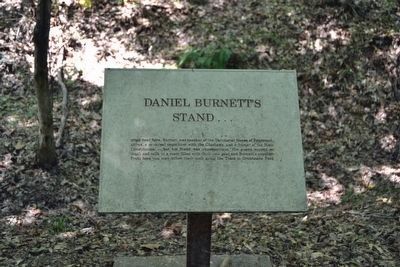
8. Daniel Burnett's Stand Interpretive Sign
Daniel Burnett's Stand ... stood near here. Burnett was speaker of the Territorial House of Representatives, a principal negotiator with the Choctaws, and a framer of the State Constitution – but his Stand was unpretentious. His guests supped on mush and milk in a room filled with their own gear and Burnett's supplies. From here you may follow their path along the Trace to Grindstone Ford.
Credits. This page was last revised on June 16, 2016. It was originally submitted on December 19, 2012, by Duane Hall of Abilene, Texas. This page has been viewed 944 times since then and 57 times this year. Photos: 1. submitted on December 19, 2012, by Duane Hall of Abilene, Texas. 2, 3. submitted on August 17, 2015, by Duane Hall of Abilene, Texas. 4. submitted on December 19, 2012, by Duane Hall of Abilene, Texas. 5. submitted on August 17, 2015, by Duane Hall of Abilene, Texas. 6. submitted on December 19, 2012, by Duane Hall of Abilene, Texas. 7, 8, 9, 10. submitted on August 17, 2015, by Duane Hall of Abilene, Texas. • Craig Swain was the editor who published this page.
