Holtville in Imperial County, California — The American West (Pacific Coastal)
Holtville
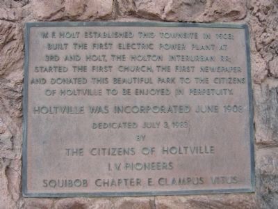
E Clampus Vitus marker dedicated 1983
Holtville was incorporated June 1908.
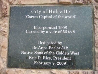
Native Sons of the Golden West marker dedicated 2009
"Carrot capitol of the world"
Incorporated 1908
Carried by a vote of 56 to 8
Erected 1983 by The citizens of Holtville, I. V. Pioneers, Squibob Chapter E Clampus Vitus.
Topics and series. This historical marker is listed in this topic list: Settlements & Settlers. In addition, it is included in the E Clampus Vitus, and the Native Sons/Daughters of the Golden West series lists. A significant historical year for this entry is 1983.
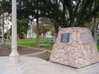
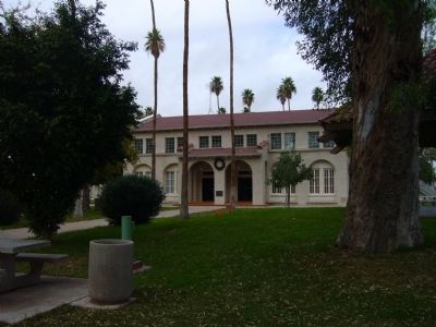
Location. 32° 48.666′ N, 115° 22.869′ W. Marker is in Holtville, California, in Imperial County. Marker is at the intersection of West 5th Street and Pine Avenue, on the right when traveling west on West 5th Street. Marker is on the northeast corner. Touch for map. Marker is in this post office area: Holtville CA 92250, United States of America. Touch for directions.
Other nearby markers. At least 8 other markers are within 8 miles of this marker, measured as the crow flies. City of Holtville (here, next to this marker); Harold Bell Wright (approx. 2˝ miles away); Site of Rancho El Tecolote (approx. 2˝ miles away); Imperial Valley Swiss Club (approx. 2.7 miles away); Schaffner Dairy (approx. 3.8 miles away); McConnell Ranch (approx. 6 miles away); Imperial Valley Church of the Brethren Site - Dunkard Church (approx. 6.2 miles away); Imperial Valley Veterans' Memorial (approx. 7.1 miles away). Touch for a list and map of all markers in Holtville.
Credits. This page was last revised on June 16, 2016. It was originally submitted on December 21, 2012, by Bill Kirchner of Tucson, Arizona. This page has been viewed 660 times since then and 63 times this year. Photos: 1, 2, 3, 4. submitted on December 21, 2012, by Bill Kirchner of Tucson, Arizona. • Syd Whittle was the editor who published this page.


