Princeton in Mercer County, New Jersey — The American Northeast (Mid-Atlantic)
Stony Brook Meeting House
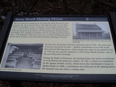
The area around the meeting house and along the Stony Brook river was originally the “Stony Brook Village,” officially part of the town of West Windsor in Middlesex County. A majority of the original colonists that came to settle in Stony Brook were Quaker farmers who purchased much of the land along the Stony Brook river from proprietors Thomas Warne and William Penn. Initially, the Quakers met for worship in private homes, but in 1709, Benjamin Clarke gave nine acres of land to Richard Stockton and his fellow trustees of the Chesterfield Monthly Meeting of Friends.
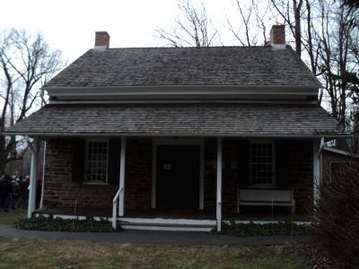
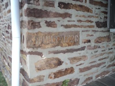
On this spot, the trustees laid out a gravesite and in 1724 – the same year Princeton was given its name – Quaker stonemasons set to work on the Stony Brook Meeting House, which stands today. It was gutted by fire in 1758, but was quickly repaired. In 1838, Stony Brook became a part of the new Princeton Township.
During the Battle of Princeton, the meeting house was used as an infirmary for both British and American soldiers. In 1781, a school was established by the Quaker Friends society, which met in the schoolmaster’s house on Quaker Road. In 1800, a schoolhouse was built next to the meeting house; the structure was torn down a century later.
Erected by State of New Jersey – Division of Parks and Forestry.
Topics and series. This historical marker is listed in these topic lists: Churches & Religion • War, US Revolutionary. In addition, it is included in the Quakerism series list. A significant historical year for this entry is 1709.
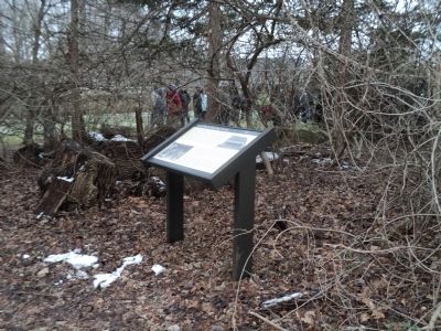
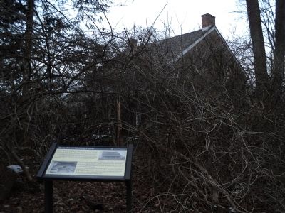
Location. 40° 19.614′ N, 74° 40.597′ W. Marker is in Princeton, New Jersey, in Mercer County. Marker can be reached from the intersection of Quaker Road (County Route 533) and Mercer Road, on the right when traveling north. Marker is located to the right of the Princeton Friends – Quaker Meeting House. Touch for map. Marker is at or near this postal address: 470 Quaker Road, Princeton NJ 08542, United States of America. Touch for directions.
Other nearby markers. At least 8 other markers are within walking distance of this marker. Richard Stockton (within shouting distance of this marker); Welcome to the Institute Lands (about 600 feet away, measured in a direct line); Route of Washington’s March (about 700 feet away); From Trenton to Princeton (approx. 0.2 miles away); Thomas Clarke House (approx. 0.2 miles away); The British Occupation of New Jersey (approx. 0.2 miles away); General Hugh Mercer (approx. 0.2 miles away); Site of Moulder’s Battery (approx. ¼ mile away). Touch for a list and map of all markers in Princeton.
More about this marker. Two photographs on the marker, courtesy of The Historical Society of Princeton, show and The Meeting House in 1900, with the Thomas Clarke barn in the background and The interior of the Meeting House.
Credits. This page was last revised on June 16, 2016. It was originally submitted on January 1, 2013, by Bill Coughlin of Woodland Park, New Jersey. This page has been viewed 684 times since then and 33 times this year. Photos: 1, 2, 3, 4, 5. submitted on January 1, 2013, by Bill Coughlin of Woodland Park, New Jersey.
