Nanjemoy in Charles County, Maryland — The American Northeast (Mid-Atlantic)
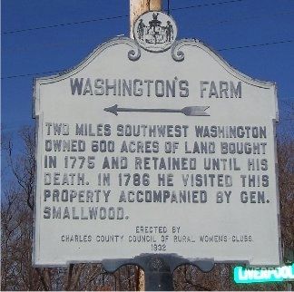
Washington's Farm
←
Two miles southwest Washington owned 600 acres of land bought in 1775 and retained until his death. In 1786 he visited this property accompanied by Gen. Smallwood.
Erected 1932 by Charles County Council of Rural Women's Clubs.
Topics and series. This historical marker is listed in these topic lists: Agriculture • Colonial Era. In addition, it is included in the Former U.S. Presidents: #01 George Washington, and the George Washington Slept Here series lists. A significant historical year for this entry is 1775.
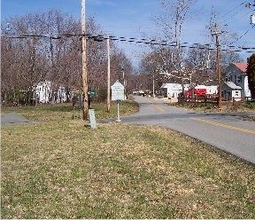
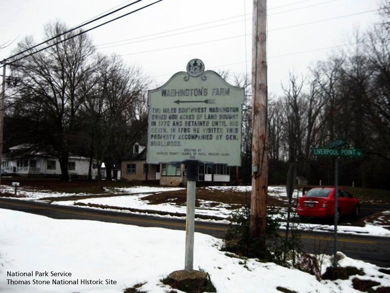
Location. 38° 27.288′ N, 77° 13.028′ W. Marker is in Nanjemoy, Maryland, in Charles County. Marker is at the intersection of Liverpool Point Road and Beaverdam Road, on the right when traveling east on Liverpool Point Road. The Nanjemoy Post Office is about 100 feet south of the marker. Touch for map. Marker is in this post office area: Nanjemoy MD 20662, United States of America. Touch for directions.
Other nearby markers. At least 8 other markers are within 3 miles of this marker, measured as the crow flies. Nanjemoy Baptist Church (approx. half a mile away); "Efton Hills" (approx. 1.6 miles away); Memories of Douglas Point (approx. 2.2 miles away); Minister's House, Family Farm (approx. 2.2 miles away); Unique Environment (approx. 2.2 miles away); Archeology Reveals Outbuildings (approx. 2.2 miles away); Life Cycle of a House (approx. 2.2 miles away); Mallows Bay (approx. 2.7 miles away). Touch for a list and map of all markers in Nanjemoy.
Also see . . . Washington's Farm, (Locust Hill). Maryland Historical Trust Architectural Survey File PDF (Submitted on August 5, 2019.)
Credits. This page was last revised on January 27, 2024. It was originally submitted on March 15, 2008, by M. A. Pimentel of Waldorf, Maryland. This page has been viewed 2,215 times since then and 69 times this year. Photos: 1, 2. submitted on March 15, 2008, by M. A. Pimentel of Waldorf, Maryland. 3. submitted on August 5, 2019. • Christopher Busta-Peck was the editor who published this page.


