Knoxville in Knox County, Tennessee — The American South (East South Central)
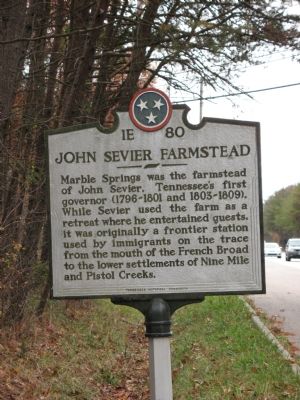
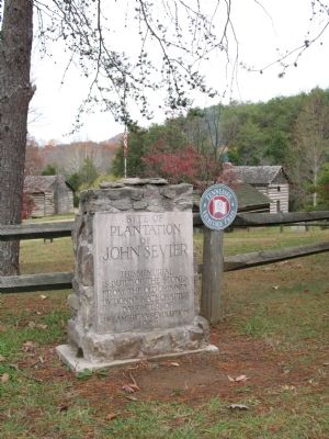
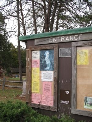
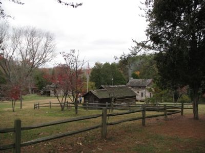
John Sevier Farmstead
Erected by Tennessee Historical Commission. (Marker Number 1E-80.)
Topics and series. This historical marker is listed in these topic lists: Agriculture • Settlements & Settlers • Waterways & Vessels. In addition, it is included in the Tennessee Historical Commission series list. A significant historical year for this entry is 1801.
Location. 35° 53.966′ N, 83° 52.35′ W. Marker is in Knoxville, Tennessee, in Knox County. Marker is on Governor John Sevier Highway (Tennessee Route 168) east of Neubert Springs Road, on the left when traveling west. Touch for map. Marker is at or near this postal address: 1220 W Gov John Sevier Hwy, Knoxville TN 37920, United States of America. Touch for directions.
Other nearby markers. At least 8 other markers are within 5 miles of this marker, measured as the crow flies. Sultana Monument (approx. 3.6 miles away); Back Door to Knoxville (approx. 3.9 miles away); Fort Dickerson (approx. 3.9 miles away); Fort Higley (approx. 4 miles away); Forts Dickerson and Stanley (approx. 4.2 miles away); a different marker also named Fort Dickerson (approx. 4.2 miles away); Civil War Knoxville (approx. 4.2 miles away); Fort Dickerson 1863–64 (approx. 4.2 miles away). Touch for a list and map of all markers in Knoxville.
Credits. This page was last revised on December 16, 2019. It was originally submitted on November 28, 2007, by Laura Troy of Burke, Virginia. This page has been viewed 1,735 times since then and 36 times this year. Last updated on January 10, 2013, by Byron Hooks of Sandy Springs, Georgia. Photos: 1, 2, 3, 4. submitted on November 28, 2007, by Laura Troy of Burke, Virginia. • Bill Pfingsten was the editor who published this page.


