Savage in Howard County, Maryland — The American Northeast (Mid-Atlantic)
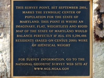
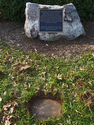
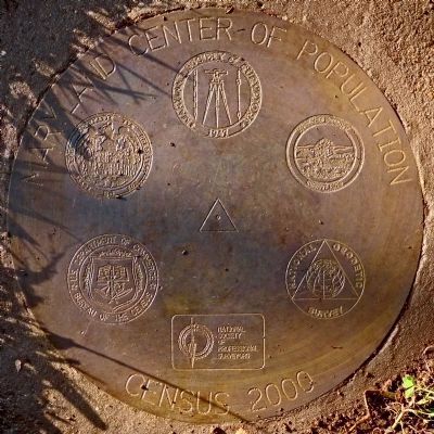
This Survey Point
For survey information, go to the National Geodetic Survey Web Site at www.ngs.noaa.gov
Topics. This historical marker is listed in this topic list: Notable Places. A significant historical month for this entry is September 2001.
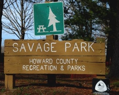
Location. 39° 8.355′ N, 76° 49.705′ W. Marker is in Savage, Maryland, in Howard County. Marker is on Fair Street. The marker is in Savage Park at the north end of Fair Street in Savage Maryland. Touch for map. Marker is at or near this postal address: 8401 Fair St, Savage MD 20763, United States of America. Touch for directions.
Other nearby markers. At least 8 other markers are within walking distance of this marker. Millworkers House (about 700 feet away, measured in a direct line); 9051-9053 Baltimore Street (approx. 0.2 miles away); Carroll Baldwin Memorial Hall (approx. 0.2 miles away); Baldwin Common (approx. ¼ mile away); Historic Savage Mill (approx. ¼ mile away); Bollman Iron Truss Bridge (approx. 0.4 miles away); Savage Mill (approx. 0.4 miles away); Maryland Purple Heart Trail (approx. 0.9 miles away). Touch for a list and map of all markers in Savage.
Also see . . . NOAA -- National Geodetic Survey. (Submitted on January 12, 2013, by Allen C. Browne of Silver Spring, Maryland.)
Additional keywords. Geographic Marker
Credits. This page was last revised on June 16, 2016. It was originally submitted on January 12, 2013, by Allen C. Browne of Silver Spring, Maryland. This page has been viewed 559 times since then and 7 times this year. Photos: 1, 2, 3, 4, 5. submitted on January 12, 2013, by Allen C. Browne of Silver Spring, Maryland. • Bill Pfingsten was the editor who published this page.
