New Brunswick in Middlesex County, New Jersey — The American Northeast (Mid-Atlantic)
New Brunswick
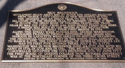
Settlement begun about 1680 by Dutch and English received from George II city charter as New Brunswick in 1730. This highway was an Indian trail to the falls of the Delaware and the Minisink Trail to Navesink crossed it here. It became the Great Road of colonial travel and trade. Near by was the ford. From 1686 John Inian’s ferry was here. A bridge was built by the British in the Revolution. The citizens built their first bridge in 1794. Along this street were famous inns. George Washington, Benjamin Franklin, Thomas Jefferson, John Adams and Marquis de Lafayette were guests on historic occasions. The Provincial Congress met in the White Hall January 31, to March 2, 1776. The court martial of General Charles Lee had its first five sittings there July 2 to 6, 1778. Washington was in New Brunswick June 24, 1775 and with his Army in 1776, in 1778 and in 1781. The British under Howe and Cornwallis occupied the city December 1776 to June 1777. The first house of Queen’s College now Rutgers University was at the northeast corner of the third cross street.
Erected 1930 by Freeholders of Middlesex County.
Topics and series. This historical marker is listed in these topic lists: Colonial Era • War, US Revolutionary . In addition, it is included in the Former U.S. Presidents: #02 John Adams, and the Former U.S. Presidents: #03 Thomas Jefferson series lists. A significant historical month for this entry is January 1849.
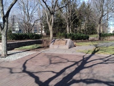
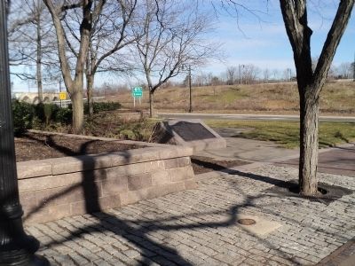
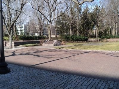
Location. 40° 29.837′ N, 74° 26.472′ W. Marker is in New Brunswick, New Jersey, in Middlesex County. Marker is at the intersection of Albany Street (New Jersey Route 27) and Burnet Street (New Jersey Route 18), on the right when traveling west on Albany Street. Touch for map. Marker is in this post office area: New Brunswick NJ 08901, United States of America. Touch for directions.
Other nearby markers. At least 8 other markers are within walking distance of this marker. The First Classes of Queen's College (Rutgers University) (about 400 feet away, measured in a direct line); New Brunswick Inn Site (about 400 feet away); Route Taken by Washington (about 500 feet away); Christ Church (about 700 feet away); Christ Church Parish (about 700 feet away); Brigadier General Anthony Walton White grave marker (about 700 feet away); Innovation (approx. 0.2 miles away); Kirkpatrick Chapel (approx. 0.2 miles away). Touch for a list and map of all markers in New Brunswick.
Credits. This page was last revised on June 16, 2016. It was originally submitted on January 19, 2013, by Bill Coughlin of Woodland Park, New Jersey. This page has been viewed 648 times since then and 46 times this year. Photos: 1, 2, 3, 4. submitted on January 19, 2013, by Bill Coughlin of Woodland Park, New Jersey.


