Bishop in Inyo County, California — The American West (Pacific Coastal)
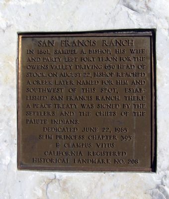
San Francis Ranch
California Registered Historical Landmark No. 208
Erected 1985 by Slim Princess Chapter 395, E Clampus Vitus. (Marker Number 208.)
Topics and series. This historical marker is listed in these topic lists: Native Americans • Settlements & Settlers. In addition, it is included in the California Historical Landmarks, and the E Clampus Vitus series lists. A significant historical date for this entry is June 22, 1873.
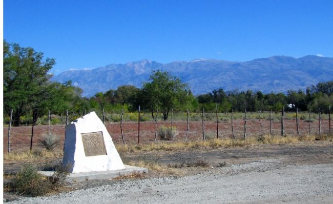
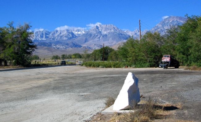
Location. 37° 21.679′ N, 118° 27.192′ W. Marker is in Bishop, California, in Inyo County. Marker is on West Line Road (California Route 168) west of Muny Road, on the right when traveling west. Touch for map. Marker is in this post office area: Bishop CA 93514, United States of America. Touch for directions.
Other nearby markers. At least 5 other markers are within 4 miles of this marker, measured as the crow flies. Lynching of the Convicts (approx. one mile away); Bishop Creek Battleground (approx. 2.1 miles away); The Mule (approx. 3.1 miles away); History of "Dangerous Arrest" (approx. 3.1 miles away); The Old Inyo County Jailhouse (approx. 3.2 miles away). Touch for a list and map of all markers in Bishop.
Credits. This page was last revised on March 5, 2022. It was originally submitted on October 17, 2006, by Karen Key of Sacramento, California. This page has been viewed 2,769 times since then and 26 times this year. Photos: 1, 2, 3. submitted on October 17, 2006, by Karen Key of Sacramento, California. • J. J. Prats was the editor who published this page.


