Near McDowell in Highland County, Virginia — The American South (Mid-Atlantic)
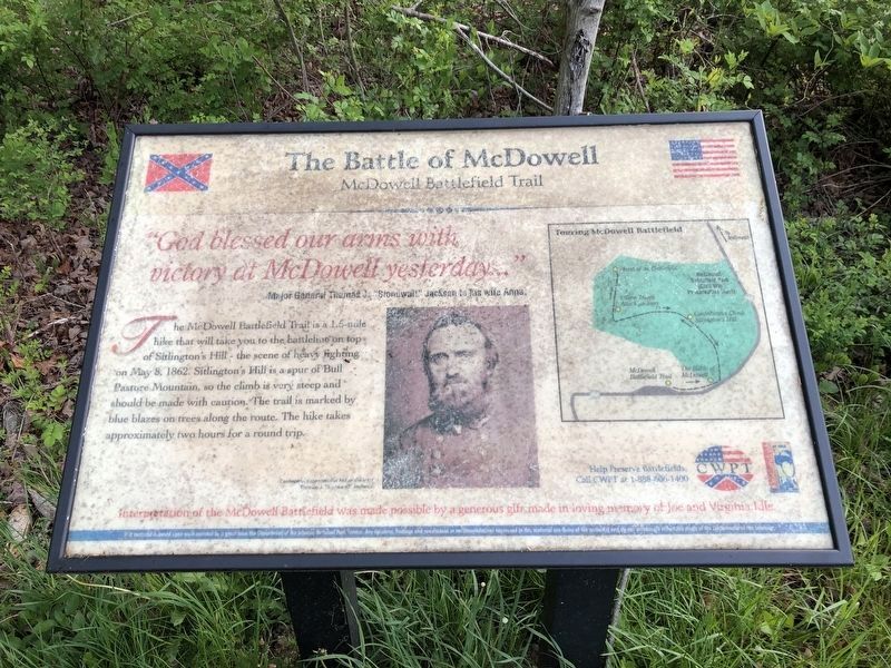
The Battle of McDowell
McDowell Battlefield Trail
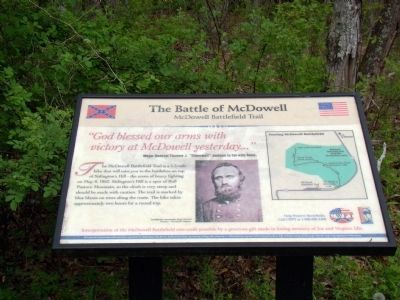
"God blessed our arms with victory at McDowell yesterday…"
Major General's Thomas J. "Stonewall" Jackson to his Wife Anna.
The McDowell Battlefield Trail is a 1.5-mile hike that will take you to the battleline on top of Sitlington’s Hill—the scene of heavy fighting on May 8, 1862. Sitlington’s Hill is a spur of Bull Pasture Mountain, so the climb is very steep and should be made with caution. The trail is marked by blue blazes on trees along the route. The hike takes approximately two hours for a round trip.
Erected by Civil War Preservation Trust and Shenandoah Valley Battlefields Foundation.
Topics. This historical marker is listed in these topic lists: Notable Events • War, US Civil. A significant historical month for this entry is May 1887.
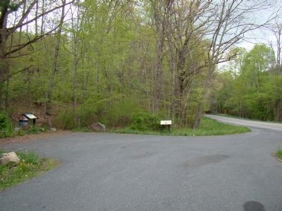
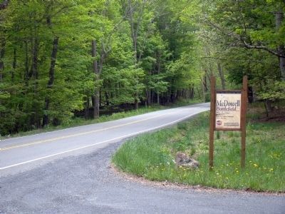
Location. Marker has been reported permanently removed. It was located near 38° 19.466′ N, 79° 27.95′ W. Marker was near McDowell, Virginia, in Highland County. Marker was on Highland Turnpike (U.S. 250), on the left when traveling west. Located in the Civil War Preservation's Trust McDowell Battlefield. Touch for map. Marker was at or near this postal address: 10561 Highland Turnpike, Mc Dowell VA 24458, United States of America.
We have been informed that this sign or monument is no longer there and will not be replaced. This page is an archival view of what was.
Other nearby markers. At least 8 other markers are within walking distance of this location. Anthony's Burg (here, next to this marker); a different marker also named Battle of McDowell (here, next to this marker); A Road From The Past (within shouting distance of this marker); Confederates Hold the High Ground (about 500 feet away, measured in a direct line); Two Plans Of Attack (approx. 0.2 miles away); Moving Uphill (approx. ¼ mile away); The Ravines (approx. 0.3 miles away); The Confederate Right (approx. 0.4 miles away). Touch for a list and map of all markers in McDowell.
More about this marker. In the center is a portrait of Confederate commander Major General Thomas J. “Stonewall” Jackson. To the right is a map of the battlefield indicating important sites.
Related markers. Click here for a list of markers that are related to this marker. To better understand the relationship, study each marker in the order shown.
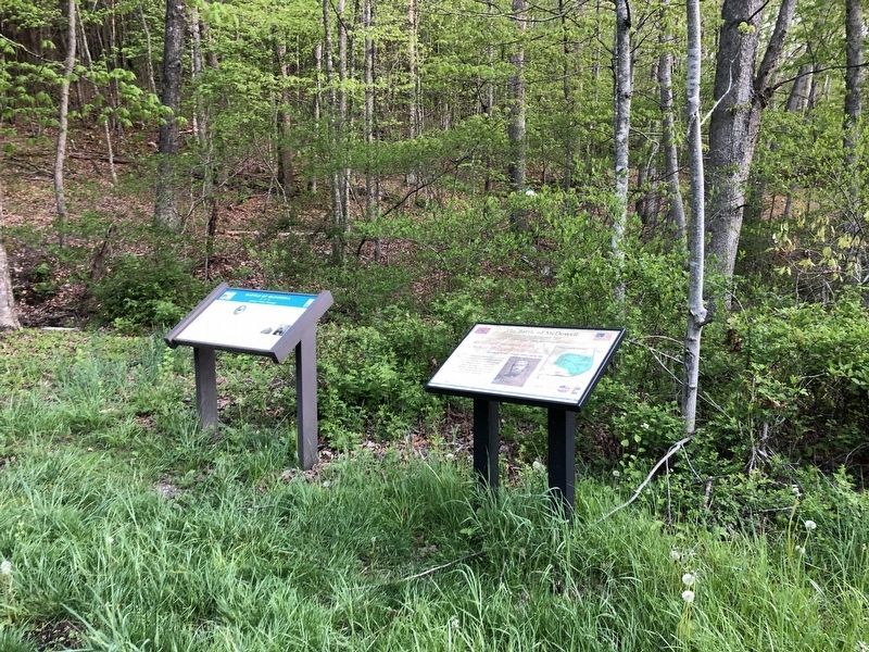
Photographed By Devry Becker Jones (CC0), May 8, 2021
2. The Battle of McDowell Marker
The marker has significantly weathered.
Credits. This page was last revised on October 18, 2023. It was originally submitted on March 4, 2009, by Robert H. Moore, II of Winchester, Virginia. This page has been viewed 1,993 times since then and 26 times this year. Last updated on January 29, 2013, by David Graff of Halifax, Nova Scotia. Photos: 1. submitted on May 5, 2010, by J. J. Prats of Powell, Ohio. 2. submitted on May 8, 2021, by Devry Becker Jones of Washington, District of Columbia. 3. submitted on March 30, 2009. 4. submitted on May 8, 2021, by Devry Becker Jones of Washington, District of Columbia. 5, 6. submitted on May 5, 2010, by J. J. Prats of Powell, Ohio. • Bill Pfingsten was the editor who published this page.
