Franklin in Williamson County, Tennessee — The American South (East South Central)
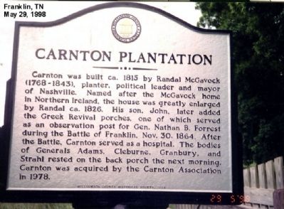
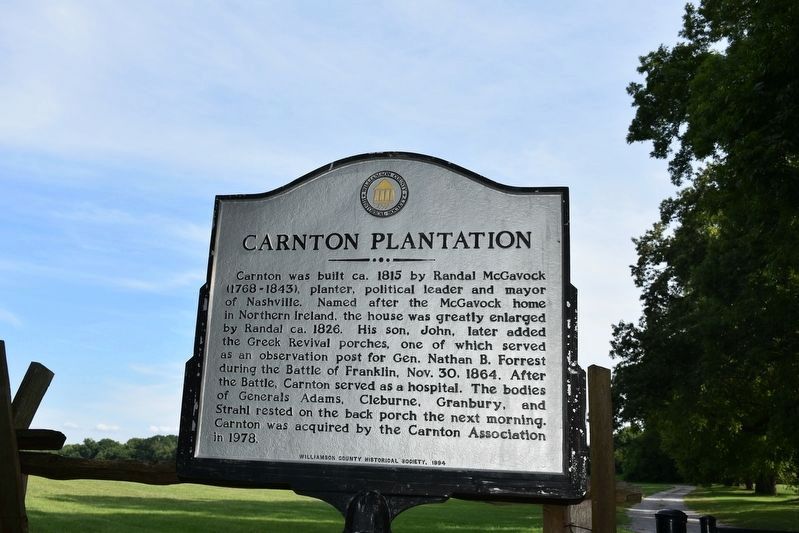
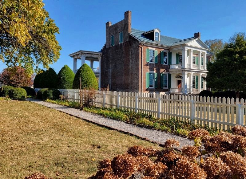
Carnton Plantation
Battle of Franklin
Erected 1984 by Williamson County Historical Society.
Topics and series. This historical marker is listed in this topic list: War, US Civil. In addition, it is included in the Tennessee – Williamson County Historical Society series list. A significant historical date for this entry is October 30, 1917.
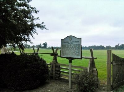
Location. 35° 54.282′ N, 86° 51.758′ W. Marker is in Franklin, Tennessee, in Williamson County. Marker is on Carnton Lane south of Brandon Drive (Route 0.3), on the left when traveling south. Touch for map. Marker is at or near this postal address: 1345 Carnton Lane, Franklin TN 37064, United States of America. Touch for directions.
Other nearby markers. At least 8 other markers are within walking distance of this marker. Tennessee Association, (within shouting distance of this marker); Confederate Cemetery (within shouting distance of this marker); McGavock Confederate Cemetery (within shouting distance of this marker); a different marker also named McGavock Confederate Cemetery (about 300 feet away, measured in a direct line); Battle of Franklin, Eastern Flank (about 700 feet away); The Long Road to Recovery (approx. 0.2 miles away); A Dream Postponed (approx. 0.2 miles away); Confederate Reunions at McGavock's Grove (approx. 0.2 miles away). Touch for a list and map of all markers in Franklin.
Credits. This page was last revised on November 10, 2022. It was originally submitted on January 29, 2013, by Don Morfe of Baltimore, Maryland. This page has been viewed 750 times since then and 21 times this year. Photos: 1. submitted on January 29, 2013, by Don Morfe of Baltimore, Maryland. 2. submitted on July 19, 2018, by Sandra Hughes Tidwell of Killen, Alabama, USA. 3. submitted on September 14, 2014, by Lee Hattabaugh of Capshaw, Alabama. 4. submitted on November 4, 2022, by Bradley Owen of Morgantown, West Virginia. • Craig Swain was the editor who published this page.


