Selmer in McNairy County, Tennessee — The American South (East South Central)
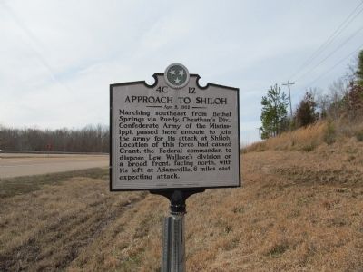
Approach to Shiloh
Apr. 5, 1862
Erected by Tennessee Historical Commission. (Marker Number 4C 12.)
Topics and series. This historical marker is listed in this topic list: War, US Civil. In addition, it is included in the Tennessee Historical Commission series list.
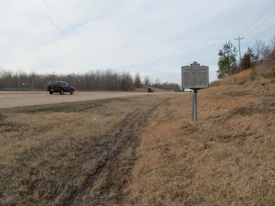
Location. 35° 11.623′ N, 88° 28.973′ W. Marker is in Selmer, Tennessee, in McNairy County. Marker is on U.S. 64. Touch for map. Marker is at or near this postal address: 6148 (State) Highway 15, Selmer TN 38375, United States of America. Touch for directions.
Other nearby markers. At least 8 other markers are within 6 miles of this marker, measured as the crow flies. Purdy (approx. 0.9 miles away); Buford Hayse Pusser (approx. 1.6 miles away); Fielding Hurst and Purdy (approx. 3.8 miles away); Memorial to Veterans (approx. 4.1 miles away); October 4th 1969 (approx. 4˝ miles away); First Courthouse of McNairy County (approx. 5.4 miles away); McNairy County Military Park (approx. 5.4 miles away); Adamsville In The Civil War (approx. 5.8 miles away). Touch for a list and map of all markers in Selmer.
Credits. This page was last revised on June 16, 2016. It was originally submitted on February 7, 2013, by Judith Barber of Marietta, Georgia. This page has been viewed 801 times since then and 31 times this year. Photos: 1, 2. submitted on February 7, 2013, by Judith Barber of Marietta, Georgia. • Craig Swain was the editor who published this page.

