Bend in Deschutes County, Oregon — The American West (Northwest)
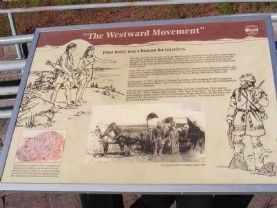
"The Westward Movement"
Pilot Butte Park

Photographed By Don Morfe, June 28, 2009
1. Pilot Butte Park Marker
(Inscription on the bottom left hand corner of the marker under the 1813 rock): This carved rock, inscribed “1813”, was found south of Bend and is on display at the DesChutes County Historical Center. It is believed to have been inscribed by members of the Reed and Seton trapping expedition from Astoria who were southwest of Bend at that time.
Pilot Butte was a beacon for travelers.
On a day sometime in the year 1813, and Indian lookout, from one of several tribes summering in this vicinity, might have “hiked the butte” and from here observed an exploration party moving along the banks of the Deschutes River. The 1813 date, having been carved on a volcanic tuff boulder near the river, has been credited with indicating the presence of the first Euro-Americans in this vicinity.
From 1813 to 1835, fur trappers from the Hudson Bay Company at Fort Vancouver and the John Jacob Astor Company at Astoria searched for beaver along the waterways of Central Oregon. Other trappers of that time included Finian McDonald, Thomas McKay, Peter Skene Ogden, and Nathaniel Wyeth.
On December 4, 1843, the John C Fremont Expedition, while mapping the West, camped in Shevlin Park, just west of here. They were leaded south and were already experiencing difficult winter travel conditions.
This volcanic landmark had been called Red Butte, than later Pilot Knob. Diary sources from the 1853 Elliott Wagon Train mention “Pilot Butte by the River.” By the early 1860s, when military wagon trains traveled the Huntington Wagon Road between The Dalles and Klamath Falls, the common name Pilot Butte was entrenched. That route passed near the western base of the butte.
Erected by Oregon State Parks.
Topics. This historical marker is listed in these topic lists: Exploration • Industry & Commerce. A significant historical month for this entry is December 1901.
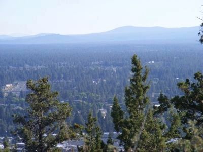
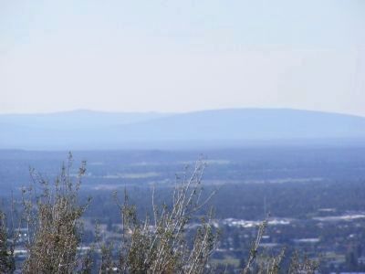
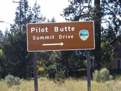
Location. 44° 3.636′ N, 121° 16.986′ W. Marker is in Bend, Oregon, in Deschutes County. Marker is on Pilot Butte Summit Drive. Marker is located at the Pilot View Scenic Lookout. The park can be reached from Greenwood Avenue (U.S. 20). Touch for map. Marker is in this post office area: Bend OR 97701, United States of America. Touch for directions.
Other nearby markers. At least 8 other markers are within 2 miles of this marker, measured as the crow flies. The City of Bend (here, next to this marker); Oregon's Fabled "High Desert" (within shouting distance of this marker); O'Donnell Field (approx. 1.1 miles away); A.J. Tucker Building (approx. 1.4 miles away); Wright Hotel (approx. 1.4 miles away); Deschutes County Courthouse (approx. 1.4 miles away); Colonial Inn (approx. 1.4 miles away); "Klondike Kate" House (approx. 1.4 miles away). Touch for a list and map of all markers in Bend.
Credits. This page was last revised on June 16, 2016. It was originally submitted on February 7, 2013, by Don Morfe of Baltimore, Maryland. This page has been viewed 548 times since then and 20 times this year. Photos: 1, 2, 3, 4. submitted on February 7, 2013, by Don Morfe of Baltimore, Maryland. • Syd Whittle was the editor who published this page.
Editor’s want-list for this marker. Wide area view of the marker and its surroundings. • Can you help?


