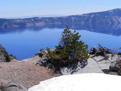
Crater Lake in Klamath County, Oregon — The American West (Northwest)
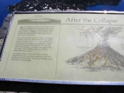
After the Collapse
Mount Mazama
— Crater Lake National Park —
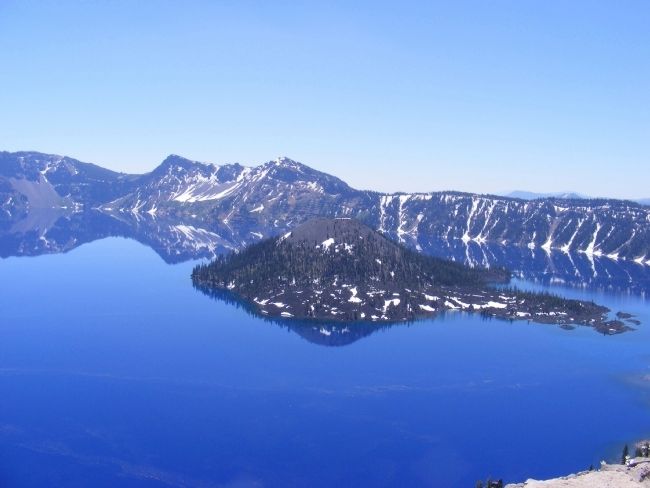
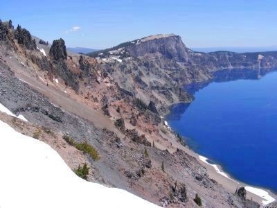
The most striking evidence of post collapse volcanic activity is Wizard Island, the small volcano in front of you. Its symmetrical cone was formed by a fountain of cinders which erupted from the caldera floor. On the left side of the caldera, a similar cone appeared, but today it lies hidden 496 feet (151 m) below the lake surface.
Geologists believe that lava flows which erupted after the collapse helped to seal the fractured caldera floor, allowing melting snow and rain to accumulate.
Erected by National Park Service.
Topics. This historical marker is listed in these topic lists: Environment • Natural Features.
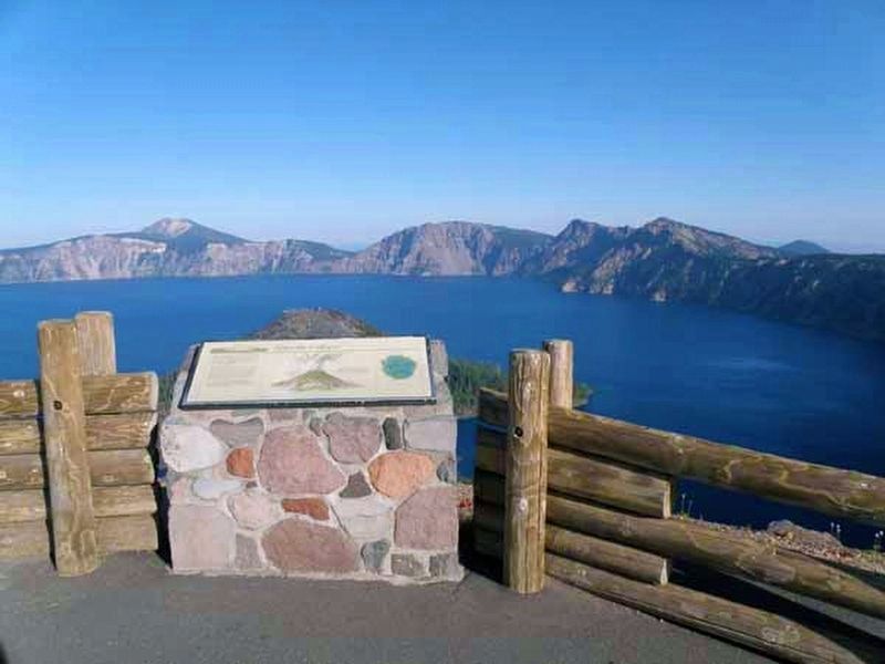
Location. 42° 54.78′ N, 122° 8.496′ W. Marker is in Crater Lake, Oregon, in Klamath County. Marker can be reached from Rim Drive, on the right when traveling north. Marker is located within the boundaries of Crater Lake National Park at a lookout area on the western side of Crater Lake. Touch for map. Marker is in this post office area: Crater Lake OR 97604, United States of America. Touch for directions.
Other nearby markers. At least 6 other markers are within 8 miles of this marker, measured as the crow flies. Before the Collapse (here, next to this marker); Stephen Tyng Mather (approx. 0.2 miles away); Glacial Valleys (approx. ¼ mile away); Whitebark Pines (approx. 5 miles away); Ancient Spirits (approx. 5.3 miles away); Pumice Desert (approx. 8 miles away).
Also see . . . After the Collapse. A waymarking.com posting with photos of the marker and additional information. (Submitted on March 3, 2013.)
Credits. This page was last revised on April 14, 2020. It was originally submitted on February 8, 2013, by Don Morfe of Baltimore, Maryland. This page has been viewed 670 times since then and 30 times this year. Photos: 1. submitted on February 8, 2013, by Don Morfe of Baltimore, Maryland. 2. submitted on April 14, 2020. 3, 4, 5. submitted on February 8, 2013, by Don Morfe of Baltimore, Maryland. • Syd Whittle was the editor who published this page.
Editor’s want-list for this marker. • • Can you help?
