Rocky Mount in Franklin County, Virginia — The American South (Mid-Atlantic)
Carolina Road
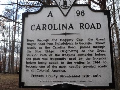
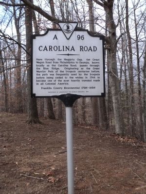
Here through the Maggoty Gap, the Great Wagon Road from Philadelphia to Georgia, known locally as the Carolina Road, passes through the Blue Ridge. Originating as the Great Warrior Path of the Iroquois centuries before, the path was frequently used by the Iroquois before being ceded to the whites in 1744 to become one of the most heavily traveled roads in all Colonial America.
Franklin County Bicentennial 1786-1986
Erected 1987 by Department of Conservation and Historic Resources. (Marker Number A-96.)
Topics and series. This historical marker is listed in these topic lists: Colonial Era • Native Americans • Roads & Vehicles. In addition, it is included in the Virginia Department of Historic Resources (DHR) series list. A significant historical year for this entry is 1744.
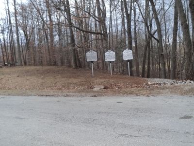
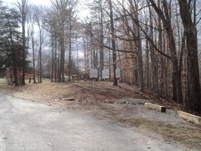
Location. 37° 3.165′ N, 79° 52.949′ W. Marker is in Rocky Mount, Virginia, in Franklin County. Marker is on Virgil H. Goode Hwy. (U.S. 220) south of Virginia Route 635, on the right when traveling south. Touch for map. Marker is in this post office area: Rocky Mount VA 24151, United States of America. Touch for directions.
Other nearby markers. At least 8 other markers are within 7 miles of this marker, measured as the crow flies. Ferrum College (here, next to this marker); Fort Blackwater (here, next to this marker); Franklin County (approx. 3.6 miles away); Norfolk and Western Caboose (approx. 3.6 miles away); Rocky Mount (approx. 4 miles away); First Franklin County Court (approx. 4.4 miles away); Washington Iron Works (approx. 4.4 miles away); Taylor’s Store (approx. 6.7 miles away). Touch for a list and map of all markers in Rocky Mount.
Credits. This page was last revised on September 2, 2017. It was originally submitted on February 10, 2013, by Bill Coughlin of Woodland Park, New Jersey. This page has been viewed 735 times since then and 39 times this year. Photos: 1, 2, 3, 4. submitted on February 10, 2013, by Bill Coughlin of Woodland Park, New Jersey.


