Tulelake in Siskiyou County, California — The American West (Pacific Coastal)
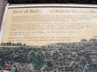
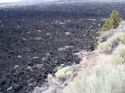
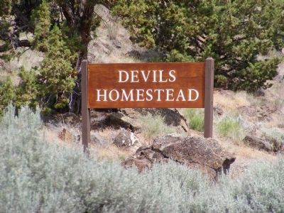
River of Rocks - The Devils Homestead Lava Flow
Pahoehoe lava began flowing downhill toward Tule Lake to your left. It was very hot (1200°C), but cooling and loss of gas began right away. As the flow crept along the outer several inches solidified into a hard layer. Under stress from the still liquid and very mobile flow interior, the lava crust broke repeatedly, forming a jumble of frothy-looking plates that were rafted along like blocks of ice on a river.
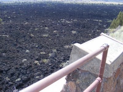
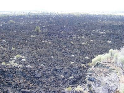
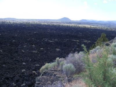
By the time the flow reached here, cooling and loss of gas had transformed it into a rough cinder-like lava called aa.
Pahoehoe lava (pah-HOY-hoy) — a hot, gas rich, low viscosity basalt.
Aa lava (AH-ah) — a cooler, less gaseous, higher viscosity basalt.
Erected by National Park Service.
Topics. This historical marker is listed in this topic list: Environment.
Location. Marker has been reported missing. It was located near 41° 47.586′ N, 121° 33.72′ W. Marker was in Tulelake, California, in Siskiyou County. Marker was on Hill Road (County Road 10), on the left when traveling south. The marker and lava flow are located within the boundaries of Lava Beds National Monument. Touch for map. Marker was in this post office area: Tulelake CA 96134, United States of America. Touch for directions.
Other nearby markers. At least 8 other markers are within 3 miles of this location, measured as the crow flies. Civilian Conservation Corps (a few steps from this marker); Beds of Lava (approx. 0.8 miles away); The End of the Modoc War (approx. 2 miles away); A Volcanic Classroom (approx. 2 miles away); Last Meeting of the Peace Commission (approx. 2 miles away); Canby Cross (approx. 2 miles away); Ambush at Midday - The Thomas-Wright Battle of April 26, 1873 (approx. 2 miles away); Modoc War Casualties (approx. 2.2 miles away). Touch for a list and map of all markers in Tulelake.
Credits. This page was last revised on February 23, 2018. It was originally submitted on February 11, 2013, by Don Morfe of Baltimore, Maryland. This page has been viewed 562 times since then and 7 times this year. Photos: 1, 2, 3, 4, 5, 6. submitted on February 11, 2013, by Don Morfe of Baltimore, Maryland. • Syd Whittle was the editor who published this page.
Editor’s want-list for this marker. A full view of the marker. • A wide area view of the marker and its surroundings. • Can you help?
