Jerusalem, Jerusalem District, Israel — The Middle East (West Asia)
Jehoshaphat's Cave
מערת יהושפט
— مغارة يهوشافاط —
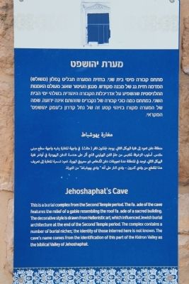
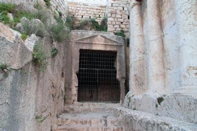
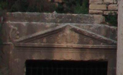
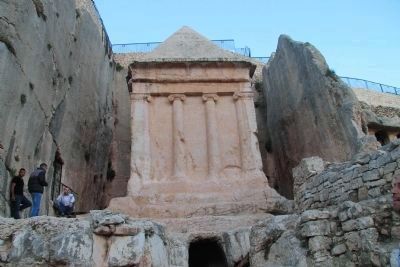
This is a burial complex from the Second Temple period. The facade of the cave features the relief of a gable resembling the roof facade of a sacred building. The decorative style is drawn from Hellenistic art, which influenced Jewish burial architecture at the end of the Second Temple period. The complex contains a number of burial niches; the identity of those interred here is not known. The cave's name comes from the identification of this part of the Kidron Valley as the biblical Valley of Jehoshaphat.
Topics. This historical marker is listed in these topic lists: Cemeteries & Burial Sites • Man-Made Features.
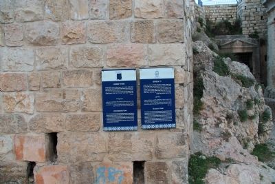
Location. 31° 46.641′ N, 35° 14.324′ E. Marker is in Jerusalem, Jerusalem District. Marker can be reached from Derech Jericho (National Route 417) just south of Derech HaOfel, on the right when traveling south. I used the HMDB.org, Google map feature to help me identify locational information. This marker is located off road, in what I will call a community park area, along a well traveled walkway named Derech HaShiloah. This walkway begins along the west side of the Derech Jericho roadway and drops down into the Kidron Valley. Both the historical marker and the rock cut burial cave that the marker features are located at the base of the Kidron Valley. Touch for map. Touch for directions.
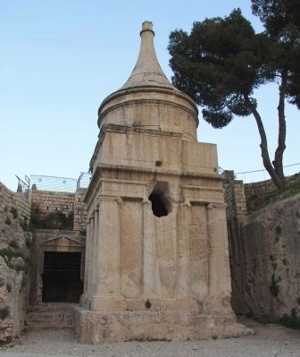
Other nearby markers. At least 8 other markers are within walking distance of this marker. Absalom's Tomb (here, next to this marker); Gethsemane (about 210 meters away, measured in a direct line); The Eastern Huldah Gate (approx. 0.3 kilometers away in Israel); Meeting place of three fortification elements (approx. 0.3 kilometers away); Ritual Baths and Water Conduits (approx. 0.3 kilometers away); Double Gate Monumental Stairs and Observation Plaza (approx. 0.3 kilometers away); Preserved buildings of the First Temple Period (tenth-sixth centuries BCE) (approx. 0.3 kilometers away in Israel); A large cistern that dates back to the Second Temple period (approx. 0.3 kilometers away in Israel). Touch for a list and map of all markers in Jerusalem.
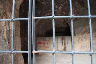
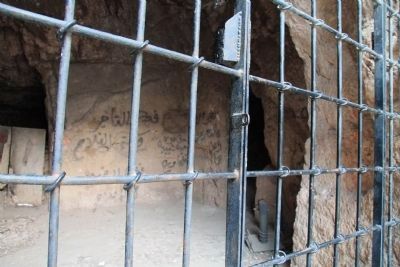
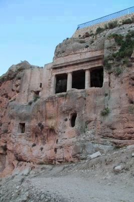
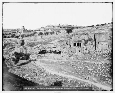
More about this marker. The subject of this historical marker is actually an immense, rock cut, late Second Temple Period (Herod to First Jewish Revolt), burial complex, that is located directly behind Absalom's tomb. The burial complex was cut into a limestone escarpment that juts out of the eastern side of the base of the Kidron Valley. There is a rock cut gable over the entrance to this complex that is decorated with floral motifs carved into the stone. The rock cut burial cave contains eight burial chambers
which branch off from the entrance.
Regarding Jehoshaphat's Cave. According to the Jerusalem Archaeological Park website, "The details of the decoration on the facades of the cave and of the monument represent a mixture of artistic styles borrowed from the Hellenistic, Oriental and Egyptian realms. At the same time, the depiction of human figures, so typical of Hellenistic culture, is absent. This probably reflects the injunction of Jewish law against graven images."
Also see . . .
1. Tomb of Avshalom. This is a link to information provided by BibleWalks.com (Submitted on March 23, 2013, by Dale K. Benington of Toledo, Ohio.)
2. Tombs in the Kidron Valley. This is a link to information provided by a website entitled Jerusalem 101 (Submitted on March 23, 2013, by Dale K. Benington of Toledo, Ohio.)
3. Jerusalem, the lintel of the entrance to Jehoshaphat Cave in Kidron. This is a link to a photograph provided by Hanan Isachar Photography (Submitted on March 23, 2013, by Dale K. Benington of Toledo, Ohio.)
Credits. This page was last revised on November 9, 2022. It was originally submitted on March 23, 2013, by Dale K. Benington of Toledo, Ohio. This page has been viewed 1,006 times since then and 33 times this year. Last updated on March 26, 2013. Photos: 1, 2. submitted on March 23, 2013, by Dale K. Benington of Toledo, Ohio. 3, 4, 5, 6, 7. submitted on April 3, 2013, by Dale K. Benington of Toledo, Ohio. 8, 9. submitted on March 23, 2013, by Dale K. Benington of Toledo, Ohio. 10. submitted on March 26, 2013. • Bill Pfingsten was the editor who published this page.
