Cambridge City in Wayne County, Indiana — The American Midwest (Great Lakes)
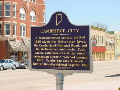
Cambridge City
Erected 1993 by Indiana Historic Bureau and Western Wayne Heritage, Inc. (Marker Number 89.1992.2.)
Topics and series. This historical marker is listed in these topic lists: Industry & Commerce • Railroads & Streetcars • Roads & Vehicles • Waterways & Vessels. In addition, it is included in the Indiana Historical Bureau Markers, and the The Historic National Road series lists. A significant historical year for this entry is 1836.
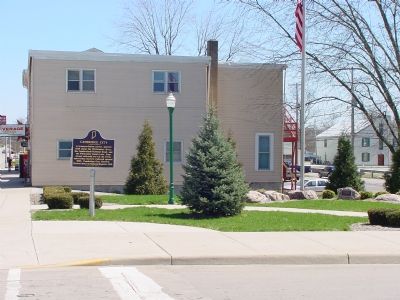
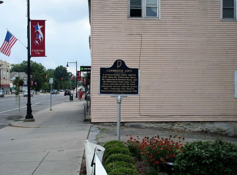
Location. 39° 48.745′ N, 85° 10.295′ W. Marker is in Cambridge City, Indiana, in Wayne County. Marker is at the intersection of West Main Street (U.S. 40) and Foote Street, on the left when traveling west on West Main Street. Touch for map. Marker is in this post office area: Cambridge City IN 47327, United States of America. Touch for directions.
Other nearby markers. At least 8 other markers are within walking distance of this marker. 1904-1925 "Dinkey" (a few steps from this marker); Cambridge City Veterans Memorial (a few steps from this marker); General Solomon Meredith (about 300 feet away, measured in a direct line); Lincoln's Funeral Train (about 300 feet away); Iron Brigade Commander (approx. half a mile away); Indian Boundary Line (approx. half a mile away); Virginia Claypool Meredith (approx. half a mile away); Overbeck House and Studio (approx. half a mile away). Touch for a list and map of all markers in Cambridge City.
Regarding Cambridge City. Railroads traversing Cambridge City included the Indiana Central (Pennsylvania); the Jeffersonville, Madison and Indianapolis; the Fort Wayne, Muncie and Cincinnati (Nickle Plate); the Whitewater Valley (Big Four); and the electric Dayton and Western interurban. The four railroads crossed each other in the one-block area bounded by South 2nd and 3rd, Jones, and Green Streets, two blocks south and one block west from this marker. The interurban ran down the center of the National Road (Main Street) right past the this marker's location. And less than a block east is the Vinton House Inn, now an antiques store, which was at the terminus of the Whitewater Canal that ran to the Ohio River. The turn-around pool was behind the inn.
Also see . . .
1. Whitewater Canal. Wikipedia entry. (Submitted on January 20, 2021, by Larry Gertner of New York, New York.)
2. Ghost Railroads of Indiana. Book by Elmer G.Sulzer on Amazon.com has a map of Cambridge City showing the rail lines and depots. (Submitted on April 18, 2006.)
3. Central Indiana Interurban: Images of America. Book by Robert Reed on Amazon.com has photos of the Dayton and Western. (Submitted on April 18, 2006.)
Credits. This page was last revised on January 20, 2021. It was originally submitted on April 18, 2006, by J. J. Prats of Powell, Ohio. This page has been viewed 2,348 times since then and 29 times this year. Last updated on March 27, 2013, by Duane Hall of Abilene, Texas. Photos: 1, 2. submitted on April 18, 2006, by J. J. Prats of Powell, Ohio. 3. submitted on July 17, 2018, by Rev. Ronald Irick of West Liberty, Ohio. • Bill Pfingsten was the editor who published this page.


