Near Arad in Tamar Regional Council, Southern District, Israel — West Asia (the Levant in the Middle East)
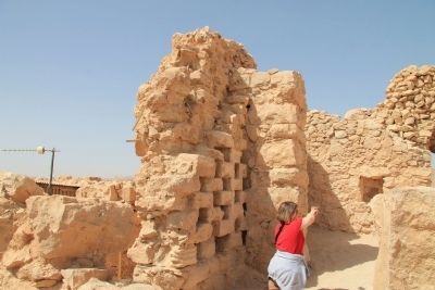
Columbarium Tower (dovecot)
Inscription.
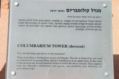
Why did the king raise doves on the mountain?
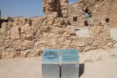
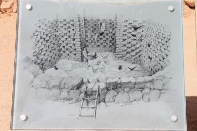
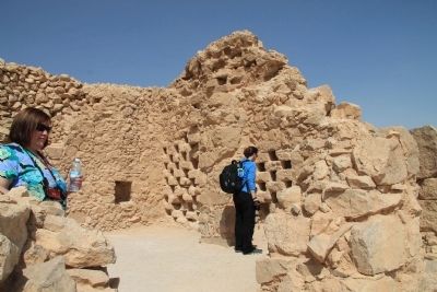
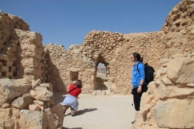
There were three columbarium towers on Masada. The one in front of us was used as a dovecot in its ground floor, and as a watchtower in its upper story. In the walls of the dovecot are several hundred niches in which the doves roosted. They supplied meat for Masada's inhabitants and guests, and probably also fertilizer for agricultural crops.
Topics. This historical marker is listed in these topic lists: Agriculture • Forts and Castles.
Location. 31° 19.003′ N, 35° 21.166′ E. Marker is near Arad, Southern District, in Tamar Regional Council. Marker can be reached from Masada National Park Service Road just west of National Route 90, on the right when traveling south. This historical marker is located in the ancient Herodian fortification, on top of an isolated rock plateau, on the eastern edge of the Judaean Desert, overlooking the Dead Sea. The historical marker is situated on the western edge of the fortifications, in front of some Roman ruins between the Western and Northern Palaces. Touch for map. Touch for directions.
Other nearby markers. At least 8 other markers are within walking distance of this marker. The Breaching Point (a few steps from this marker); The "Casemate of the Scrolls" (within shouting distance of this marker); The Synagogue (about 90 meters away, measured in a direct line); The Water Gate (about 150 meters away); The Rebel's Community Life (about 150 meters away); The Commandant's Residence (about 150 meters away); Life in a fortified palace (about 150 meters away); The Discovery Location of the "Lots" (about 150 meters away). Touch for a list and map of all markers in Arad.
Related markers. Click here for a list of markers that are related to this marker. To better understand the relationship, study each marker in the order shown.
Also see . . .
1. Masada. This is a link to information provided by Wikipedia, the free encyclopedia. (Submitted on April 1, 2013, by Dale K. Benington of Toledo, Ohio.)
2. Masada - UNESCO World Heritage Centre. This is a link to information provided by the UNESCO World Heritage Centre. (Submitted on April 1, 2013, by Dale K. Benington of Toledo, Ohio.)
3. Masada Columbarium Tower. This is a link to information provided by Wikimedia Commons. (Submitted on April 1, 2013, by Dale K. Benington of Toledo, Ohio.)
Credits. This page was last revised on May 18, 2023. It was originally submitted on April 1, 2013, by Dale K. Benington of Toledo, Ohio. This page has been viewed 1,048 times since then and 43 times this year. Photos: 1, 2, 3, 4, 5, 6. submitted on April 1, 2013, by Dale K. Benington of Toledo, Ohio.
