Coalinga in Fresno County, California — The American West (Pacific Coastal)
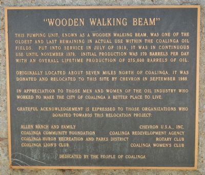
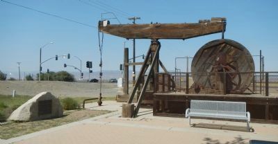
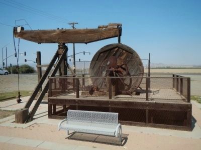
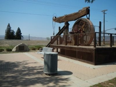
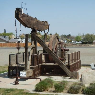
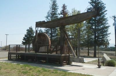
“Wooden Walking Beam”
Originally located about seven miles north of Coalinga, it was donated and relocated to this site by Chevron in September 1988.
In appreciation to those men and women of the oil industry who worked to make the City of Coalinga a better place to live.
Grateful acknowledgement is expressed to those organizations who donated towards this relocation project:
Allen Ranch and Family • Cheveron U.S.A., Inc. • Coalinga Community Foundation • Coalinga Redevelopment Agency • Coalinga-Huron Recreation and Park District • Rotary Club • Coalinga Lions Club • Coalinga Women’s Club
Dedicated by the People of Coalinga
Erected by Coalinga Community Foundation et al.
Topics. This historical marker is listed in these topic lists: Industry & Commerce • Natural Resources. A significant historical month for this entry is July 1918.
Location. 36° 9.224′ N, 120° 21.242′ W. Marker is in Coalinga, California, in Fresno County . Marker is at the intersection of Elm Avenue (California Route 33/198) and Pearl Street, on the right when traveling north on Elm Avenue. Touch for map. Marker is at or near this postal address: 1650 Elm Avenue, Coalinga CA 93210, United States of America. Touch for directions.
Other nearby markers. At least 8 other markers are within walking distance of this marker. Harry S. Watanabe (a few steps from this marker); Coalinga Union High School (approx. 0.8 miles away); Bob’s 76 Service (approx. 0.9 miles away); Motte Fountain (approx. 0.9 miles away); Coalinga Carnegie Library (approx. 0.9 miles away); Grammar School (approx. one mile away); Coalinga Opera House (approx. one mile away); “Dr. Bill” (approx. one mile away). Touch for a list and map of all markers in Coalinga.
Credits. This page was last revised on June 16, 2016. It was originally submitted on April 3, 2013, by Barry Swackhamer of Brentwood, California. This page has been viewed 751 times since then and 46 times this year. Photos: 1, 2, 3, 4, 5, 6. submitted on April 3, 2013, by Barry Swackhamer of Brentwood, California. • Syd Whittle was the editor who published this page.
