Delaplane in Fauquier County, Virginia — The American South (Mid-Atlantic)
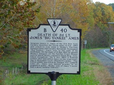
Death of 2d Lt. James “Big Yankee” Ames
Erected 2001 by the Department of Historic Resources. (Marker Number B-40.)
Topics and series. This historical marker is listed in this topic list: War, US Civil. In addition, it is included in the Virginia Department of Historic Resources (DHR) series list. A significant historical month for this entry is February 1863.
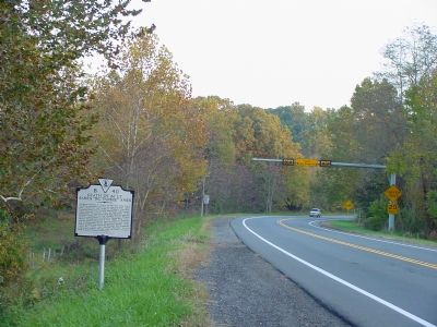
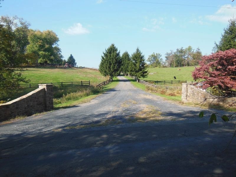
Location. Marker has been reported missing. It was located near 38° 55.102′ N, 77° 55.441′ W. Marker was in Delaplane, Virginia, in Fauquier County. Marker was at the intersection of Winchester Road (U.S. 17) and Crooked Run Road (County Route 831 ), on the right when traveling north on Winchester Road. Touch for map. Marker was in this post office area: Delaplane VA 20144, United States of America. Touch for directions.
Other nearby markers. At least 8 other markers are within 4 miles of this location, measured as the crow flies. Delaplane (approx. ¼ mile away); Piedmont Station (approx. 0.3 miles away); Emmanuel Episcopal Church (approx. 1.4 miles away); John Marshall's Leeds Manor Rural Historic District (approx. 2.2 miles away); Oak Hill (approx. 2.3 miles away); Rectortown (approx. 3 miles away); Brig. Gen. Turner Ashby, C.S.A. (approx. 3.9 miles away); Lee’s Bivouac, Gettysburg Campaign (approx. 3.9 miles away). Touch for a list and map of all markers in Delaplane.
Also see . . . James “Big Yankee” Ames. Biography and photo. (Submitted on October 22, 2006.)
Credits. This page was last revised on August 17, 2023. It was originally submitted on October 22, 2006, by J. J. Prats of Powell, Ohio. This page has been viewed 4,480 times since then and 269 times this year. Last updated on August 16, 2023, by T. Elizabeth Renich of Winchester, Virginia. Photos: 1, 2. submitted on October 22, 2006, by J. J. Prats of Powell, Ohio. 3. submitted on February 10, 2021, by Bradley Owen of Morgantown, West Virginia. • Bernard Fisher was the editor who published this page.


