Battle Ground in Tippecanoe County, Indiana — The American Midwest (Great Lakes)
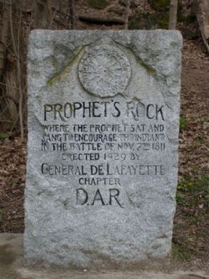
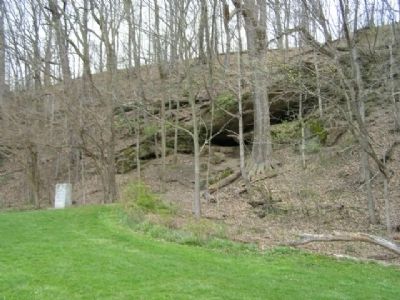
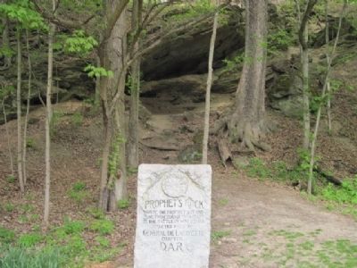
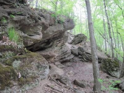
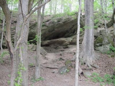
Prophet’s Rock
Erected 1929 by General De Lafayette Chapter Daughters of the American Revolution.
Topics and series. This historical marker is listed in these topic lists: Churches & Religion • Native Americans • Wars, US Indian. In addition, it is included in the Daughters of the American Revolution, and the Indian Wars Battlefield Trails series lists. A significant historical date for this entry is October 8, 1996.
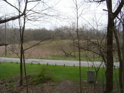
Location. 40° 30.275′ N, 86° 51.092′ W. Marker is in Battle Ground, Indiana, in Tippecanoe County. Marker is on Prophet's Rock Road. There is a pull-out with parking at the Prophet's Rock. Touch for map. Marker is in this post office area: Battle Ground IN 47920, United States of America. Touch for directions.
Other nearby markers. At least 8 other markers are within 3 miles of this marker, measured as the crow flies. Tippecanoe Battlefield Memorial (approx. 0.4 miles away); Stricken Down in the Performance of Duty (approx. 0.4 miles away); Potawatomi ‘Trail of Death’ Route (approx. 0.4 miles away); The Battle of Tippecanoe (approx. 0.4 miles away); The Methodist Camp (approx. 0.4 miles away); World War I Veterans Memorial (approx. 0.8 miles away); Prophet’s Town (approx. 1.4 miles away); Tecumseh Trail (approx. 2.8 miles away). Touch for a list and map of all markers in Battle Ground.
Also see . . . Battle of Tippecanoe. A historical sketch of the battle written in 1911. (Submitted on March 22, 2008, by Craig Swain of Leesburg, Virginia.)
Credits. This page was last revised on October 23, 2021. It was originally submitted on March 21, 2008, by Christopher Light of Valparaiso, Indiana. This page has been viewed 3,917 times since then and 57 times this year. Photos: 1, 2. submitted on March 21, 2008, by Christopher Light of Valparaiso, Indiana. 3. submitted on December 18, 2010, by Bob (peach) Weber of Dewey, Arizona. 4. submitted on March 21, 2008, by Christopher Light of Valparaiso, Indiana. 5, 6. submitted on December 17, 2010, by Bob (peach) Weber of Dewey, Arizona. • Craig Swain was the editor who published this page.
