Sterling in Loudoun County, Virginia — The American South (Mid-Atlantic)
Loudoun County / Fairfax County
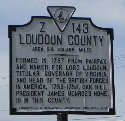
Loudoun County. Area 519 Square Miles. Formed in 1757 from Fairfax, and named for Lord Louduon, titular Governor of Virginia, and head of the British Forces in America, 1756-1758. Oak Hill, President James Monroe’s home, is in this county.
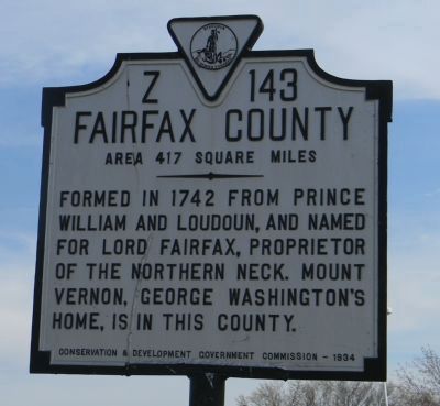
Fairfax County. Area 417 Square Miles. Formed in 1742 from Prince William and Loudoun, and named for Lord Fairfax, proprietor of the Northern Neck. Mount Vernon, George Washington’s home, is in this county.
Erected 1934 by Conservation & Development Government Commission. (Marker Number Z-143.)
Topics and series. This historical marker is listed in this topic list: Political Subdivisions. In addition, it is included in the Former U.S. Presidents: #01 George Washington, the Former U.S. Presidents: #05 James Monroe, and the Virginia Department of Historic Resources (DHR) series lists. A significant historical year for this entry is 1757.
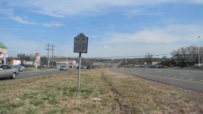
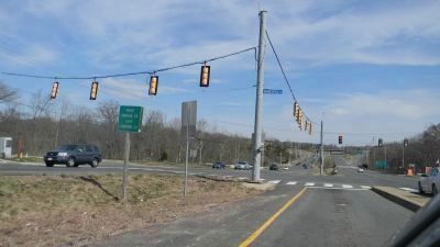
Location. 39° 0.927′ N, 77° 22.397′ W. Marker is in Sterling, Virginia, in Loudoun County. Marker is on Harry Byrd Highway [Leesburg Pike] (Virginia Route 7) west of Dranesville Road (Virginia Route 228), in the median. Touch for map. Marker is at or near this postal address: 46990 Harry Byrd Hwy, Sterling VA 20164, United States of America. Touch for directions.
Other nearby markers. At least 8 other markers are within 2 miles of this marker, measured as the crow flies. Battle of Dranesville (approx. 0.8 miles away); "The Ankerage" (approx. 1.3 miles away); Dr. James R. Tiffany, Jr. Athletic Field (approx. 1.4 miles away); Vestal's Gap Road in the 1800s (approx. 1.6 miles away); Lanesville House and Vestal's Gap Road (approx. 1.7 miles away); Lanesville Outbuildings (approx. 1.7 miles away); Lanesville Families (approx. 1.7 miles away); Lanesville Historic Area (approx. 1.7 miles away). Touch for a list and map of all markers in Sterling.
Related markers. Click here for a list of markers that are related to this marker. To better understand the relationship, study each marker in the order shown.
Credits. This page was last revised on July 7, 2021. It was originally submitted on April 13, 2013, by Richard E. Miller of Oxon Hill, Maryland. This page has been viewed 656 times since then and 23 times this year. Last updated on April 20, 2013, by Richard E. Miller of Oxon Hill, Maryland. Photos: 1, 2, 3, 4. submitted on April 13, 2013, by Richard E. Miller of Oxon Hill, Maryland. • Bernard Fisher was the editor who published this page.


