Fort Hunter in Montgomery County, New York — The American Northeast (Mid-Atlantic)
Building Block of the Erie Canal
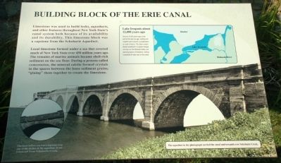
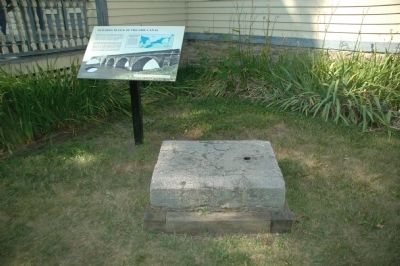
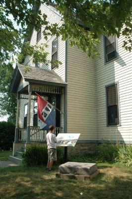
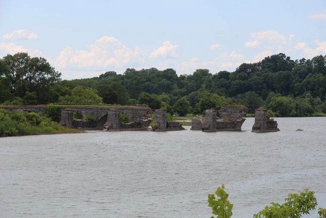
Limestone was used to build locks, aqueducts, and other features throughout New York State's canal system both because of its availability and its durability. This limestone block was a capstone from the Schoharie Aqueduct.
Local limestone formed under a sea that covered much of New York State over 450 million years ago. The remains of marine animals became shell-rich sediment on the sea floor. During a process called cementation, the mineral calcite formed crystals in the spaces between the loose sediment grains, "gluing" them together to create the limestone.
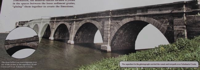
The stone before you was a capstone over one of the arches in the aqueduct. It was retrieved from Schoharie Creek.
[Inset Map Caption]
Lake Iroquois about 12,000 years ago
Around 12,000 years ago at the end of the last ice age, melting ice created Lake Iroquois, a predecessor to Lake Ontario. The lake's water flowed eastward in a great deluge, carving out the Mohawk Valley and exposing layers of limestone, making it available for later use on the canal.
Erected by New York State.
Topics and series. This historical marker is listed in these topic lists: Bridges & Viaducts • Man-Made Features • Waterways & Vessels. In addition, it is included in the Erie Canal series list.
Location. 42° 56.367′ N, 74° 16.918′ W. Marker is in Fort Hunter, New York, in Montgomery County. Marker is on Schoharie Street, on the right when traveling north. Marker is beside the entrance to the Schoharie Crossing State Historic Site visitors center. Touch for map. Marker is at or near this postal address: 129 Schoharie Street, Fort Hunter NY 12069, United States of America. Touch for directions.
Other nearby markers. At least 8 other markers are within walking distance of this marker. Site of Queen Anne Chapel (a few steps from this marker); Original Erie Canal (a few steps from this marker); East Guard Lock (a few steps from this marker); The Fort by the Village (a few steps from this marker); Site of Last Mohawk Indian Village (a few steps from this marker); Site of Old Fort Hunter (a few steps from this marker); Site of First Bridge (within shouting distance of this marker); A Mohawk House Unearthed (within shouting distance of this marker). Touch for a list and map of all markers in Fort Hunter.
Also see . . . Schoharie Crossing State Historic. New York State Office of Parks, Recreation & Historic Preservation website entry (Submitted on April 21, 2013, by Howard C. Ohlhous of Duanesburg, New York.)
Credits. This page was last revised on December 7, 2021. It was originally submitted on April 20, 2013, by Howard C. Ohlhous of Duanesburg, New York. This page has been viewed 652 times since then and 44 times this year. Photos: 1, 2, 3. submitted on April 20, 2013, by Howard C. Ohlhous of Duanesburg, New York. 4, 5. submitted on September 13, 2015, by Dale K. Benington of Toledo, Ohio. • Bill Pfingsten was the editor who published this page.
