San Miguel in San Luis Obispo County, California — The American West (Pacific Coastal)
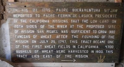
Mission Fields
Topics. This historical marker is listed in these topic lists: Agriculture • Churches & Religion • Settlements & Settlers. A significant historical date for this entry is July 25, 1797.
Location. 35° 44.674′ N, 120° 41.855′ W. Marker is in San Miguel, California, in San Luis Obispo County. Marker can be reached from Mission Street, on the left when traveling south. Touch for map. Marker is at or near this postal address: 775 Mission Street, San Miguel CA 93451, United States of America. Touch for directions.
Other nearby markers. At least 8 other markers are within walking distance of this marker. Cross of El Camino Real (a few steps from this marker); Mission Cemetery (within shouting distance of this marker); Lt. Col. John C. Fremont (about 400 feet away, measured in a direct line); Mission San Miguel Arcangel (about 500 feet away); Fr. Fidelis Wieland, O.F.M (approx. 0.2 miles away); San Miguel Cemetery District (approx. 0.4 miles away); Elkhorn Saloon (approx. 0.4 miles away); Original Site Of San Miguel School (approx. 0.4 miles away). Touch for a list and map of all markers in San Miguel.
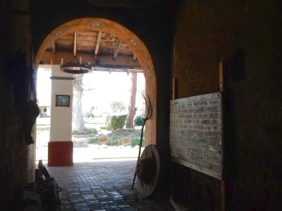
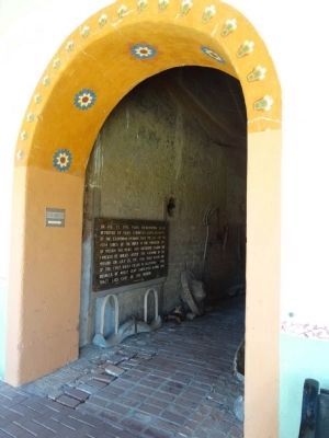
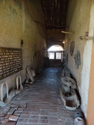
More about this marker. This marker is located in the courtyard of Mission San Miguel at Sheep Gate.
Credits. This page was last revised on June 16, 2016. It was originally submitted on April 22, 2013, by Barry Swackhamer of Brentwood, California. This page has been viewed 435 times since then and 10 times this year. Photos: 1, 2. submitted on April 22, 2013, by Barry Swackhamer of Brentwood, California. 3, 4. submitted on May 16, 2015, by Denise Boose of Tehachapi, California. • Syd Whittle was the editor who published this page.


