St. Joseph in Berrien County, Michigan — The American Midwest (Great Lakes)
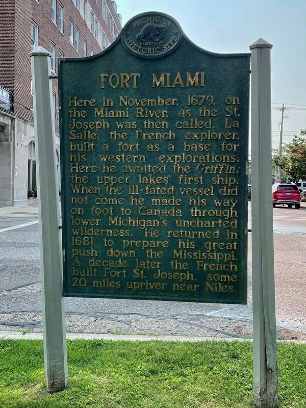
Fort Miami
Erected 1957 by Michigan Historical Commission. (Marker Number 6.)
Topics and series. This historical marker is listed in these topic lists: Colonial Era • Exploration • Forts and Castles • Settlements & Settlers. In addition, it is included in the Michigan Historical Commission series list. A significant historical month for this entry is November 1679.
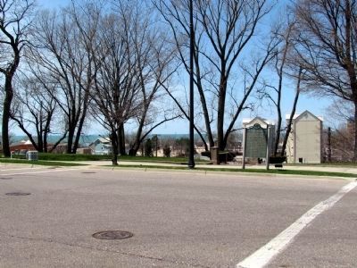
Location. 42° 6.651′ N, 86° 28.943′ W. Marker is in St. Joseph, Michigan, in Berrien County. Marker is at the intersection of Lake Boulevard and Ship Street, on the right when traveling south on Lake Boulevard. Touch for map. Marker is in this post office area: Saint Joseph MI 49085, United States of America. Touch for directions.
Other nearby markers. At least 8 other markers are within walking distance of this marker. St. Joseph's Firemen (within shouting distance of this marker); Creating a Harbor (within shouting distance of this marker); Commercial Fishing (about 400 feet away, measured in a direct line); United States Life Saving Service (about 400 feet away); St. Joseph River Swing Bridge (about 400 feet away); U.S. Lighthouse Supply Depot (about 600 feet away); Commercial Shipping (about 700 feet away); Recreational Boating (about 700 feet away). Touch for a list and map of all markers in St. Joseph.
Credits. This page was last revised on January 21, 2022. It was originally submitted on September 13, 2012. This page has been viewed 908 times since then and 60 times this year. Last updated on April 27, 2013. Photos: 1. submitted on October 17, 2021, by John Garman of Rochester Hills. 2. submitted on April 27, 2013, by Duane Hall of Abilene, Texas. • Bernard Fisher was the editor who published this page.

