Santa Fe in Santa Fe County, New Mexico — The American Mountains (Southwest)
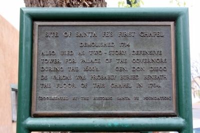
Site of Santa Fe’s First Chapel
Demolished 1714
Erected by The Historic Santa Fe Foundation.
Topics. This historical marker is listed in this topic list: Churches & Religion. A significant historical year for this entry is 1704.
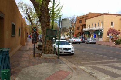
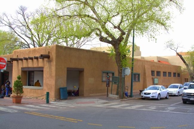
Location. 35° 41.263′ N, 105° 56.265′ W. Marker is in Santa Fe, New Mexico, in Santa Fe County. Marker is at the intersection of Washington Avenue and East Palace Avenue, on the left when traveling north on Washington Avenue. Marker faces Palace Avenue at the intersection, which is just off the Santa Fe Plaza. Touch for map. Marker is in this post office area: Santa Fe NM 87501, United States of America. Touch for directions.
Other nearby markers. At least 8 other markers are within walking distance of this marker. Hitching Post at the End of the Trail (a few steps from this marker); Cut Stone Facade with Quoin (within shouting distance of this marker); Annexation of New Mexico (within shouting distance of this marker); El Palacio Real (within shouting distance of this marker); Fray Angélico Chávez (within shouting distance of this marker); 109 East Palace (within shouting distance of this marker); A Building Stood Here Before 1680 (within shouting distance of this marker); Captain Diego Arias de Quiros (within shouting distance of this marker). Touch for a list and map of all markers in Santa Fe.
Credits. This page was last revised on June 16, 2016. It was originally submitted on April 28, 2013, by J. J. Prats of Powell, Ohio. This page has been viewed 640 times since then and 27 times this year. Photos: 1, 2, 3. submitted on April 28, 2013, by J. J. Prats of Powell, Ohio.


