St. Joseph in Berrien County, Michigan — The American Midwest (Great Lakes)
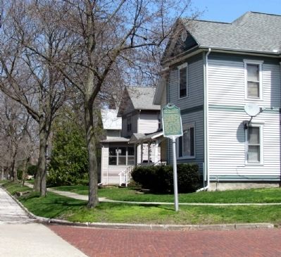
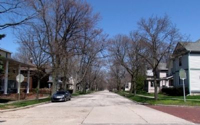
Old St. Joseph Neighborhood
Registered Michigan Historic Site
Erected 1984 by Michigan History Division, Department of State. (Marker Number L1019A.)
Topics and series. This historical marker is listed in these topic lists: Architecture • Industry & Commerce • Settlements & Settlers • Waterways & Vessels. In addition, it is included in the Michigan Historical Commission series list.
Location. 42° 6.107′ N, 86° 29.281′ W. Marker is in St. Joseph, Michigan, in Berrien County. Marker is at the intersection of State Street and Sutherland Street, on the left when traveling south on State Street. Marker is at northeast corner of intersection. Touch for map. Marker is in this post office area: Saint Joseph MI 49085, United States of America. Touch for directions.
Other nearby markers. At least 8 other markers are within walking distance of this marker. St. Joseph Maritime Heritage (approx. half a mile away); Lighthouses on the Pier (approx. half a mile away); La Salle Memorial (approx. half a mile away); Lighthouses on the Bluff (approx. half a mile away); Eleven Inch Dahlgren (approx. half a mile away); Silver Beach Amusement Park (approx. 0.6 miles away); United States Life Saving Service (approx. 0.6 miles away); Fort Miami (approx. 0.7 miles away). Touch for a list and map of all markers in St. Joseph.
Credits. This page was last revised on December 6, 2020. It was originally submitted on April 28, 2013, by Duane Hall of Abilene, Texas. This page has been viewed 784 times since then and 85 times this year. Photos: 1, 2, 3. submitted on April 28, 2013, by Duane Hall of Abilene, Texas. • Bernard Fisher was the editor who published this page.


