Bluemont in Arlington in Arlington County, Virginia — The American South (Mid-Atlantic)
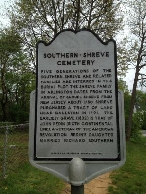
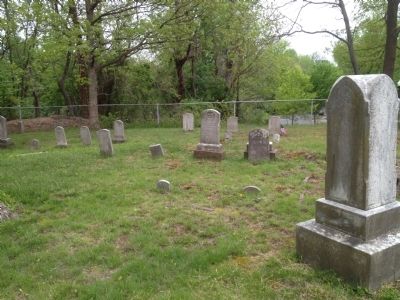
Southern-Shreve Cemetery
Erected by Arlington County.
Topics. This historical marker is listed in these topic lists: Cemeteries & Burial Sites • War, US Revolutionary. A significant historical year for this entry is 1780.
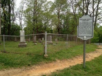
Location. 38° 52.82′ N, 77° 7.66′ W. Marker is in Arlington, Virginia, in Arlington County. It is in Bluemont. Marker can be reached from North Harrison Street north of Fairfax Drive, on the right when traveling north. The cemetery can also be accessed from a spur trail off the Custis Bike Trail. Touch for map. Marker is in this post office area: Arlington VA 22205, United States of America. Touch for directions.
Other nearby markers. At least 8 other markers are within walking distance of this marker. Arlington Constitutional Garden (approx. 0.4 miles away); Lest We Forget (approx. 0.4 miles away); Alice N. Nicolson (approx. half a mile away); Tracks into History (approx. half a mile away); Civil War Outpost (approx. half a mile away); Bluemont Junction (approx. 0.6 miles away); The Great Falls Line (approx. 0.6 miles away); Rosslyn Station (approx. 0.6 miles away). Touch for a list and map of all markers in Arlington.
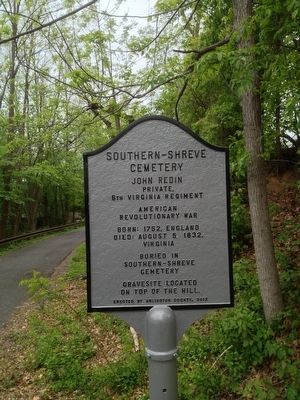
Photographed By Kevin Vincent, April 28, 2013
5. Marker on bike trail
This marker was erected in 2013 as an Eagle Project by a local Boy Scout to direct people on the bike path to visit Private Redin's grave in the adjacent cemetery which is not visible from the path.
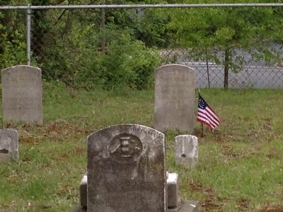
Private John Redin was one of the few Revolutionary War veterans who are known to be buried in Arlington County.
Credits. This page was last revised on February 1, 2023. It was originally submitted on April 28, 2013, by Kevin Vincent of Arlington, Virginia. This page has been viewed 818 times since then and 29 times this year. Photos: 1, 2, 3, 4, 5. submitted on April 28, 2013, by Kevin Vincent of Arlington, Virginia. • Bernard Fisher was the editor who published this page.
