Coloma in Berrien County, Michigan — The American Midwest (Great Lakes)
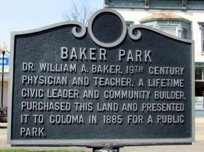
Baker Park
Topics. This historical marker is listed in this topic list: Charity & Public Work. A significant historical year for this entry is 1885.
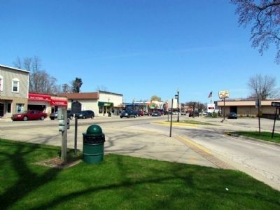
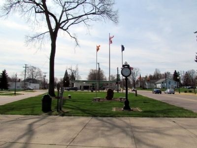
Location. 42° 11.196′ N, 86° 18.369′ W. Marker is in Coloma, Michigan, in Berrien County. Marker is at the intersection of North Paw Paw Street and East Center Street, on the right when traveling north on North Paw Paw Street. Marker is located in Baker Park at the northeast corner of the intersection across from city hall. Touch for map. Marker is in this post office area: Coloma MI 49038, United States of America. Touch for directions.
Other nearby markers. At least 8 other markers are within 9 miles of this marker, measured as the crow flies. Coloma Interurban Station (about 800 feet away, measured in a direct line); Benton Harbor Fruit Market (approx. 7 miles away); The Fruit Belt (approx. 7 miles away); Covert Library (approx. 7.8 miles away); Covert World War II Memorial (approx. 7.9 miles away); Israelite House of David / Mary's City of David (approx. 8.3 miles away); The Historic District of Mary's City of David (approx. 8.3 miles away); Morton Cemetery (approx. 8.4 miles away).
Credits. This page was last revised on June 16, 2016. It was originally submitted on April 29, 2013, by Duane Hall of Abilene, Texas. This page has been viewed 438 times since then and 14 times this year. Photos: 1, 2, 3. submitted on April 29, 2013, by Duane Hall of Abilene, Texas. • Bernard Fisher was the editor who published this page.


