Berrien Springs in Berrien County, Michigan — The American Midwest (Great Lakes)
Berrien Springs Courthouse
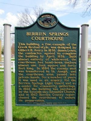
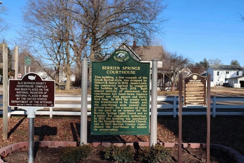
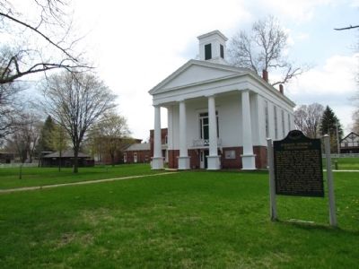
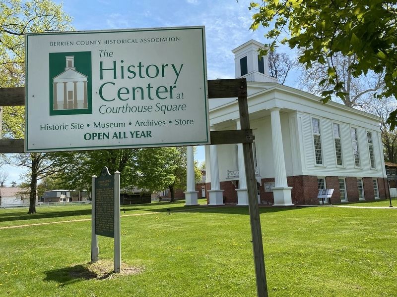
This building, a fine example of the Greek Revival style, was designed by Gilbert B. Avery in 1838. James Lewis, the contractor, agreed to complete the building by April, 1839. Built almost entirely of whitewood, the courthouse has hand-hewn timbers almost one foot square and forty feet long. In 1894 the county seat was transferred to St. Joseph, and the courthouse soon passed into private hands. For a number of years it was used as an armory for the Berrien Springs Light Guard and as a center for community gatherings. In 1922 the building was purchased by the Seventh-day Adventist Church, and in 1967 Berrien County repurchased the courthouse to ensure its preservation.
Erected by Michigan Historical Commission. (Marker Number HB50.)
Topics and series. This historical marker is listed in these topic lists: Architecture • Churches & Religion • Government & Politics. In addition, it is included in the Michigan Historical Commission series list. A significant historical month for this entry is April 1839.
Location. 41° 56.902′ N, 86° 20.457′ W. Marker is in Berrien Springs, Michigan, in Berrien County. Marker is at the intersection of North Cass Street (State Highway 139) and West Union Street, on the right when traveling south on North Cass Street. The marker is located at The History Center at Courthouse Square. Touch for map. Marker is at or near this postal address: 313 N Cass St, Berrien Springs MI 49103, United States of America. Touch for directions.
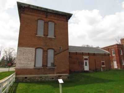
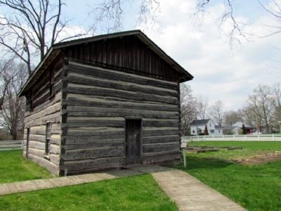
Other nearby markers. At least 8 other markers are within 8 miles of this marker, measured as the crow flies. Berrien County Courthouse (here, next to this marker); Log by Log History was Made Here (within shouting distance of this marker); 1870 Berrien County Jail (within shouting distance of this marker); Andrews University (approx. 1.1 miles away); Union Church and Cemetery (approx. 3.8 miles away); Morris Chapel Church (approx. 5.6 miles away); Moccasin Bluff (approx. 6.9 miles away); Johnson Cemetery (approx. 7.2 miles away). Touch for a list and map of all markers in Berrien Springs.
Credits. This page was last revised on February 4, 2024. It was originally submitted on April 30, 2013, by Duane Hall of Abilene, Texas. This page has been viewed 513 times since then and 19 times this year. Photos: 1. submitted on April 30, 2013, by Duane Hall of Abilene, Texas. 2. submitted on February 3, 2024, by Trevor L Whited of Kokomo, Indiana. 3, 4, 5, 6. submitted on April 30, 2013, by Duane Hall of Abilene, Texas. 7. submitted on June 23, 2023, by Lou Donkle of Valparaiso, Indiana. • Bernard Fisher was the editor who published this page.
